Tuesday 25 February 2025
A new technique has been developed that can generate high-quality images of the world from satellite data, with impressive results in a challenging task known as cross-view image synthesis.
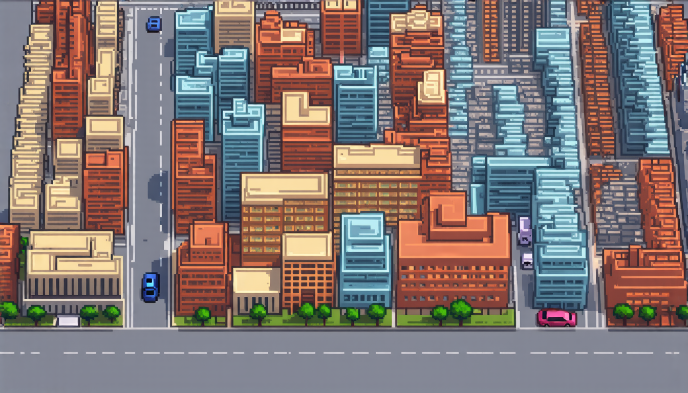
The goal of this technology is to produce images of streets and buildings from a bird’s-eye view, using only information from the ground level. This is useful for applications such as urban planning, disaster response, and environmental monitoring. However, it’s a tricky problem because the two views are quite different – one is a 2D image, while the other is a 3D panorama.
The researchers used a type of artificial intelligence called a diffusion model to tackle this challenge. These models work by gradually adding noise to an input image and then reversing the process to produce a clean output. By conditioning the denoising process on features extracted from the satellite image, they were able to generate images that are both geographically accurate and visually realistic.
The team tested their approach using data from two cities: Boston in the US and Munich in Germany. They found that their method was able to produce high-quality images that closely matched the real-world scenes. The results were particularly impressive when compared to existing methods, which often struggle to capture the fine details of urban environments.
One of the key advantages of this approach is its ability to handle complex scenes with multiple structures and occlusions. This is because the diffusion model can learn to recognize patterns in the data and use them to guide the generation process. As a result, the generated images are not only geographically accurate but also visually realistic, with details such as building shapes and street layout accurately reproduced.
The researchers believe that their approach has significant potential for real-world applications. For example, it could be used to create detailed maps of cities from satellite data, or to aid in disaster response by providing accurate information about the extent of damage. It could also be used to monitor environmental changes over time, such as deforestation or coastal erosion.
Overall, this research demonstrates the power of diffusion models for generating high-quality images from satellite data. By combining these models with techniques for extracting features from satellite imagery, it’s possible to produce stunningly realistic images that can be used in a wide range of applications.
Cite this article: “Satellite Data Transformed into Realistic Images with AI-Powered Technique”, The Science Archive, 2025.
Satellite Data, Image Synthesis, Cross-View, Artificial Intelligence, Diffusion Model, Urban Planning, Disaster Response, Environmental Monitoring, Machine Learning, Geographic Information Systems.


