Thursday 23 January 2025
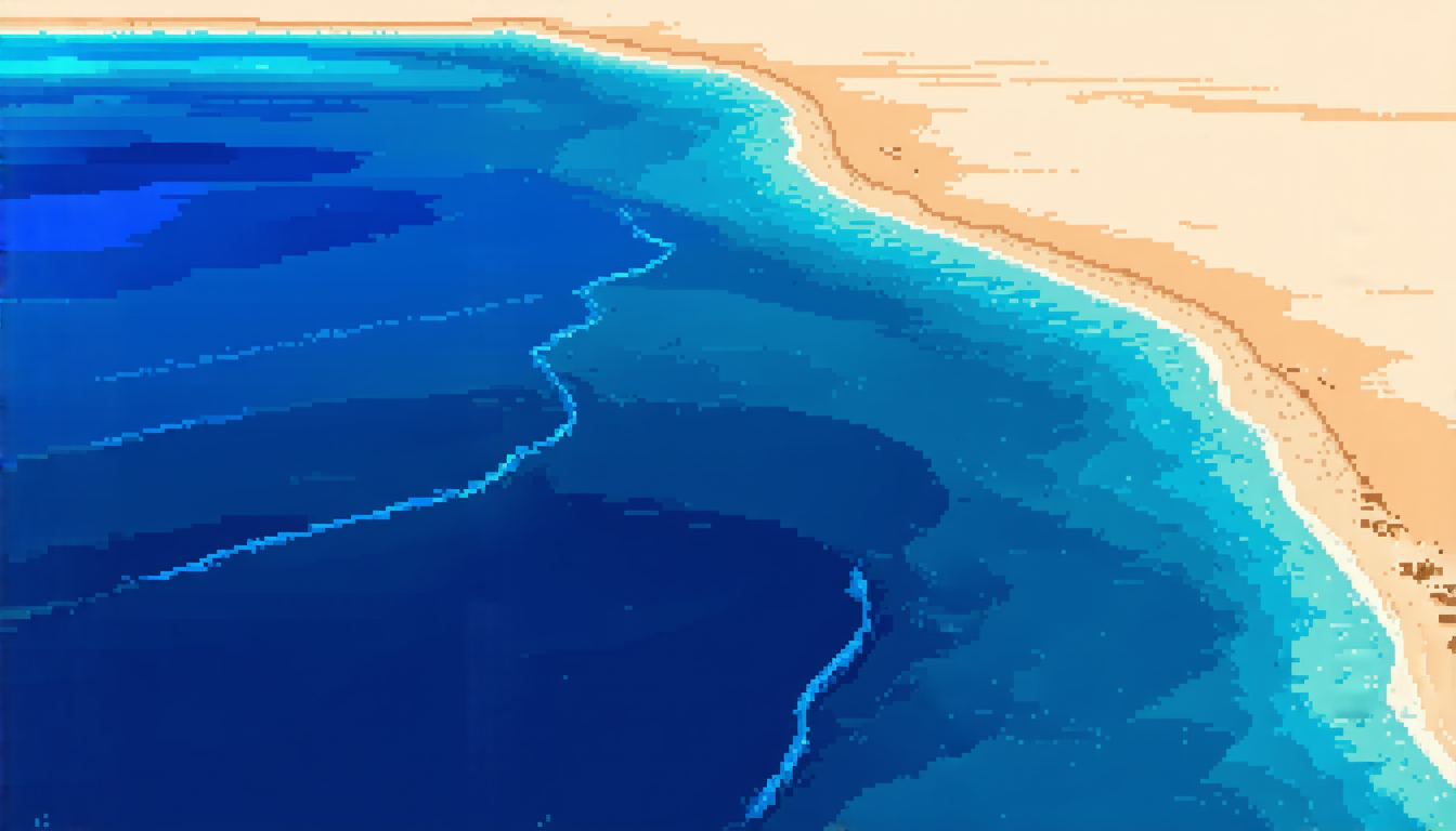
Coastlines are a vital aspect of our planet, and monitoring their changes is crucial for understanding the impact of climate change on global warming. Synthetic Aperture Radar (SAR) images have emerged as a promising tool for coastline detection due to their ability to penetrate cloud cover and provide high-resolution data. However, extracting coastlines from SAR images remains a challenging task, requiring sophisticated algorithms and careful processing.
A recent study proposes a novel approach to coastline extraction using a two-stage deep learning model that combines convolutional neural networks (CNN) with U-Net architecture. The researchers, from the Graphics-Visualization-Computing Lab at the International Institute of Information Technology Bangalore, developed a workflow called CCESAR (Coastline Classification-Extraction from SAR images using CNN-U-Net combination).
CCESAR begins by classifying SAR images into two categories: natural and built coastlines. This classification step is crucial, as it allows for more accurate segmentation and extraction of the coastline. The researchers used a vanilla CNN architecture optimized for SAR imagery to train their classification model.
The second stage involves segmenting the classified image using a U-Net architecture. The U-Net model is designed to capture context and preserve spatial information, making it an ideal choice for coastline detection. By combining the classification and segmentation models, CCESAR can accurately extract coastlines from SAR images with high precision.
To evaluate the performance of CCESAR, the researchers tested their workflow on a dataset of 40 unseen images from both natural and built coastlines. The results showed that CCESAR outperformed a single U-Net model in terms of accuracy and spatial discrepancy. The study also demonstrated that CCESAR can be applied to different compression formats, including 8-bit and 32-bit GeoTIFF images.
The proposed workflow has several advantages over existing methods. Firstly, it allows for more accurate coastline detection by classifying the image into natural and built coastlines before segmentation. Secondly, the use of a U-Net architecture enables the model to capture context and preserve spatial information, leading to more precise extraction of the coastline. Finally, CCESAR can be applied to different compression formats, making it a versatile tool for coastline detection.
The study’s findings have significant implications for environmental monitoring and management. Accurate coastline detection is essential for understanding the impact of climate change on coastal ecosystems and human settlements.
Cite this article: “Coastline Detection from Synthetic Aperture Radar Images using Deep Learning”, The Science Archive, 2025.
Coastline Extraction, Synthetic Aperture Radar, Sar Images, Deep Learning, Convolutional Neural Networks, U-Net Architecture, Coastline Detection, Climate Change, Environmental Monitoring, Image Processing


