Sunday 02 February 2025
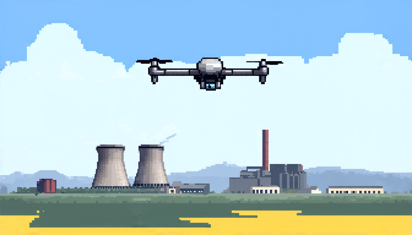
Scientists have made a significant breakthrough in developing a new technology that can accurately map and reconstruct radiological sources, such as nuclear reactors or contaminated areas, using unmanned aerial vehicles (UAVs) equipped with gamma-ray detectors.
The researchers, from Washington State University and Lawrence Berkeley National Laboratory, used a technique called scene data fusion to combine the data collected by the UAV’s detectors with information about the environment, such as the terrain and weather conditions. This allowed them to create detailed maps of the radiological sources, which can be used to determine their location, size, and shape.
The team tested their technology using a series of simulations and real-world experiments, including flights over known radiological sources. They found that their system was able to accurately reconstruct the sources with high precision, even in complex environments.
One of the key challenges in developing this technology is the need to balance the level of detail in the map with the amount of data collected by the UAV’s detectors. The researchers used a technique called regularization to achieve this balance, which involves using mathematical algorithms to smooth out the noise in the data and produce a more accurate image.
The team also experimented with different types of detectors and flight paths to optimize their system’s performance. They found that using multiple detectors and flying over the area at different angles improved the accuracy of the maps.
This technology has significant potential applications, including the detection of nuclear weapons and the cleanup of contaminated areas. It could also be used to monitor environmental pollution and track the spread of disease.
The researchers are now working to further refine their system and make it more widely available for use by law enforcement agencies, emergency responders, and other organizations that need to detect and map radiological sources. They believe that this technology could have a major impact on public safety and the environment, and they are excited to see its potential applications unfold.
Cite this article: “Radiological Source Mapping Using UAVs with Gamma-Ray Detectors”, The Science Archive, 2025.
Unmanned Aerial Vehicles, Gamma-Ray Detectors, Scene Data Fusion, Radiological Sources, Washington State University, Lawrence Berkeley National Laboratory, Regularization, Mathematical Algorithms, Environmental Pollution, Public Safety