Tuesday 25 February 2025
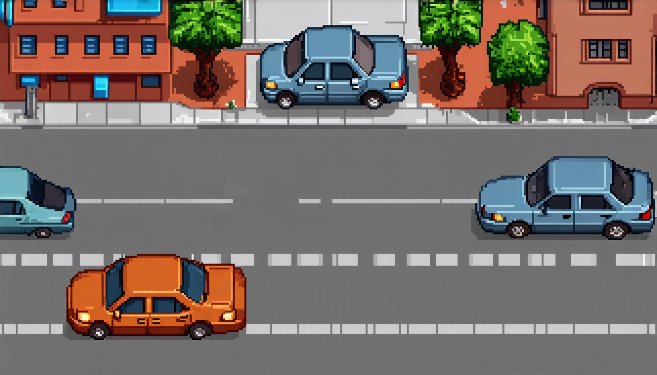
Urban landscapes have long been a challenge for computer vision and machine learning researchers, who struggle to accurately reconstruct and render dynamic scenes like city streets or highways. The problem is that these environments are inherently complex, with multiple objects moving in different directions, casting shadows, and reflecting light.
Recently, a team of researchers has made significant progress towards solving this issue by developing a novel approach called Urban4D. This system uses a combination of semantic maps, 3D Gaussian splatting, and temporal modeling to accurately reconstruct and render dynamic urban scenes.
The key innovation behind Urban4D is its ability to separate static objects from moving ones, allowing the system to focus on the most challenging parts of the scene. This separation is achieved through the use of semantic maps, which are essentially detailed images that identify and classify different objects in the scene. By analyzing these maps, Urban4D can distinguish between static objects like buildings or roads, and dynamic objects like cars or pedestrians.
Once the system has separated the objects, it uses 3D Gaussian splatting to reconstruct the scene. This technique involves mapping the semantic maps onto a 3D grid, which is then used to render the scene in high detail. The result is a highly realistic and accurate representation of the urban environment.
But Urban4D doesn’t stop there. It also incorporates temporal modeling, which allows it to capture the dynamic nature of the scene by tracking the movement of objects over time. This means that the system can accurately predict where moving objects will be in the future, allowing for more realistic rendering and animation.
The benefits of Urban4D are numerous. For one, it has the potential to revolutionize fields like autonomous driving, where accurate scene understanding is critical for safe navigation. It could also be used in applications like video games or virtual reality, where detailed and realistic environments are essential for immersion.
In addition, Urban4D’s ability to separate static from dynamic objects could have significant implications for urban planning and architecture. By analyzing the semantic maps generated by the system, city planners could gain valuable insights into how different buildings and infrastructure interact with one another, allowing them to design more efficient and effective urban spaces.
Overall, Urban4D represents a major step forward in the field of computer vision and machine learning. Its ability to accurately reconstruct and render dynamic urban scenes has significant implications for a wide range of applications, from autonomous driving to video games to urban planning.
Cite this article: “Urban4D: A Novel Approach to Accurately Reconstructing and Rendering Dynamic Urban Scenes”, The Science Archive, 2025.
Computer Vision, Machine Learning, Urban Landscapes, Dynamic Scenes, Semantic Maps, 3D Gaussian Splatting, Temporal Modeling, Autonomous Driving, Video Games, Virtual Reality.


