

Thursday 06 March 2025
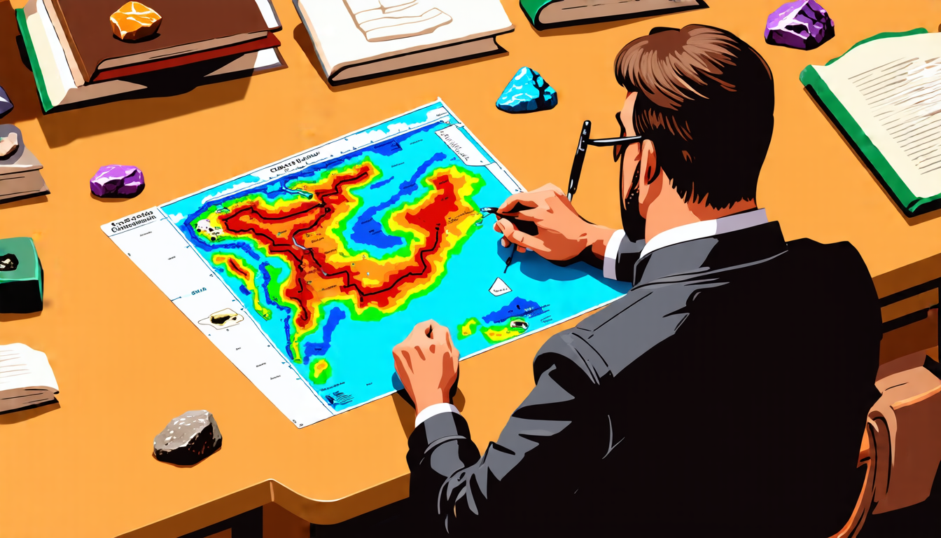
A team of researchers has made significant strides in empowering geologists and scientists to better understand complex geological maps using cutting-edge artificial intelligence technology. By developing a large language model specifically designed for geologic map understanding, they’ve created a powerful tool that can extract valuable information from these crucial diagrams.
Geologic maps are essential for studying the Earth’s subsurface and surface features, providing vital insights into natural phenomena like earthquakes, volcanoes, and even climate change. However, deciphering the intricacies of these maps can be a daunting task, requiring extensive expertise in geology and specialized software. The new AI model aims to bridge this knowledge gap by processing and analyzing geologic maps with unprecedented speed and accuracy.
The researchers employed a unique approach, leveraging the strengths of multimodal large language models (MLLMs) to integrate visual and linguistic information from geologic maps. This enabled their system to identify and extract relevant data points, such as rock formations, fault lines, and geological events, with remarkable precision.
One key innovation is the creation of GeoMap- Agent, an AI-powered agent that can comprehend geologic maps in various formats and languages. This means scientists can input different types of maps, from digital files to printed materials, and receive accurate results. Furthermore, the system’s ability to recognize and process multiple languages opens up new possibilities for international collaboration and knowledge sharing.
Another significant advancement is the development of GeoMap-Bench, a comprehensive benchmarking tool that assesses an MLLM’s performance in geologic map understanding. This standardized framework allows researchers to compare different AI models and track progress, ensuring continuous improvement and refinement.
The potential applications of this technology are vast and varied. Geologists can use it to quickly analyze large datasets, identify patterns, and make more accurate predictions about geological events. Environmental scientists may employ the system to better understand the impact of human activities on the Earth’s geology and develop more effective conservation strategies.
Moreover, the implications extend beyond the scientific community. By democratizing access to geologic map analysis, this technology can empower policymakers, urban planners, and emergency responders to make informed decisions about resource management, infrastructure development, and disaster preparedness.
As researchers continue to refine their AI model, it’s likely that we’ll see even more innovative applications emerge. For now, the advancements made in geologic map understanding using MLLMs mark a significant step forward in harnessing the power of artificial intelligence for scientific discovery and problem-solving.
Cite this article: “Unlocking Geologic Maps with Artificial Intelligence”, The Science Archive, 2025.
Geologic Maps, Artificial Intelligence, Large Language Models, Multimodal, Rock Formations, Fault Lines, Geological Events, Earthquakes, Volcanoes, Climate Change





