

Thursday 06 March 2025
A team of researchers has made a significant breakthrough in the field of remote sensing, developing a new model that can accurately identify and segment objects within high-resolution images taken by satellites or drones.
The model, called GeoPix, uses a combination of computer vision and natural language processing techniques to analyze the images and generate detailed descriptions of what is being seen. This could have a wide range of applications, from monitoring environmental changes to tracking military movements.
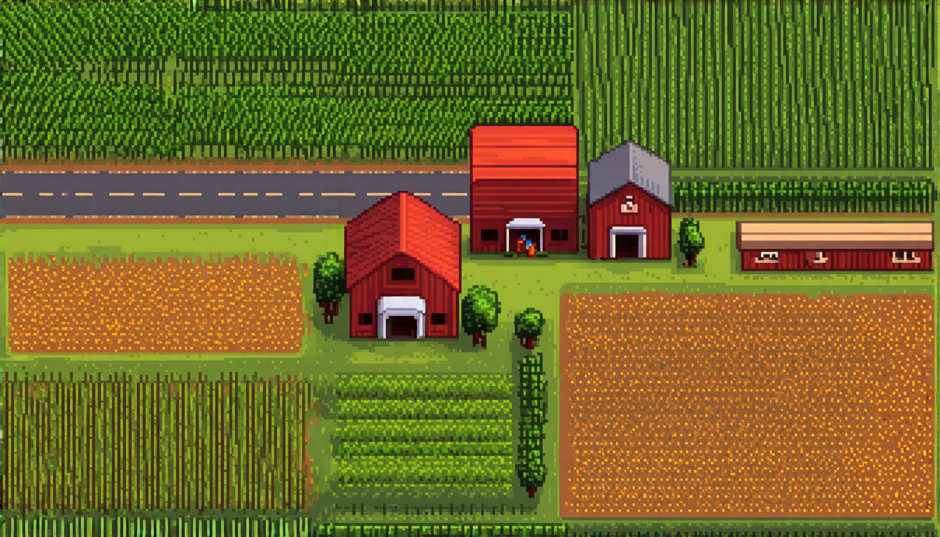
One of the key challenges in developing such a model was creating a dataset that was large enough and diverse enough to train it effectively. The researchers solved this problem by combining existing datasets with new data they generated themselves, including images taken by drones over agricultural land and satellite images of urban areas.
The GeoPix model is based on a type of artificial intelligence called a multi-modal language model, which can process both visual and text-based information. This allows it to learn from the patterns and relationships between different objects in the images, rather than just relying on simple rules or pre-defined templates.
In tests, the GeoPix model was able to accurately identify objects such as buildings, roads, and vegetation, even when they were partially hidden by other objects or appeared in complex scenes. It was also able to generate detailed descriptions of what it saw, including information about the size, shape, and color of the objects.
The researchers believe that their model has the potential to revolutionize the field of remote sensing, making it possible to analyze large volumes of data quickly and accurately. This could have a significant impact on fields such as environmental monitoring, where being able to track changes in land use or vegetation cover over time is crucial for understanding and mitigating the effects of climate change.
The model’s ability to generate detailed descriptions of what it sees also opens up new possibilities for applications such as autonomous vehicles, where being able to understand visual information is critical for navigation and decision-making. And with its ability to process large volumes of data quickly and accurately, GeoPix could also be used in fields such as healthcare, where medical images need to be analyzed rapidly to diagnose and treat diseases.
Overall, the development of GeoPix represents a significant step forward in the field of remote sensing, and has the potential to have a major impact on a wide range of applications.
Cite this article: “GeoPix: A Breakthrough in Remote Sensing Object Identification and Description”, The Science Archive, 2025.
Remote Sensing, Artificial Intelligence, Computer Vision, Natural Language Processing, Object Segmentation, Image Analysis, Satellite Imaging, Drone Technology, Environmental Monitoring, Autonomous Vehicles





