Friday 07 March 2025
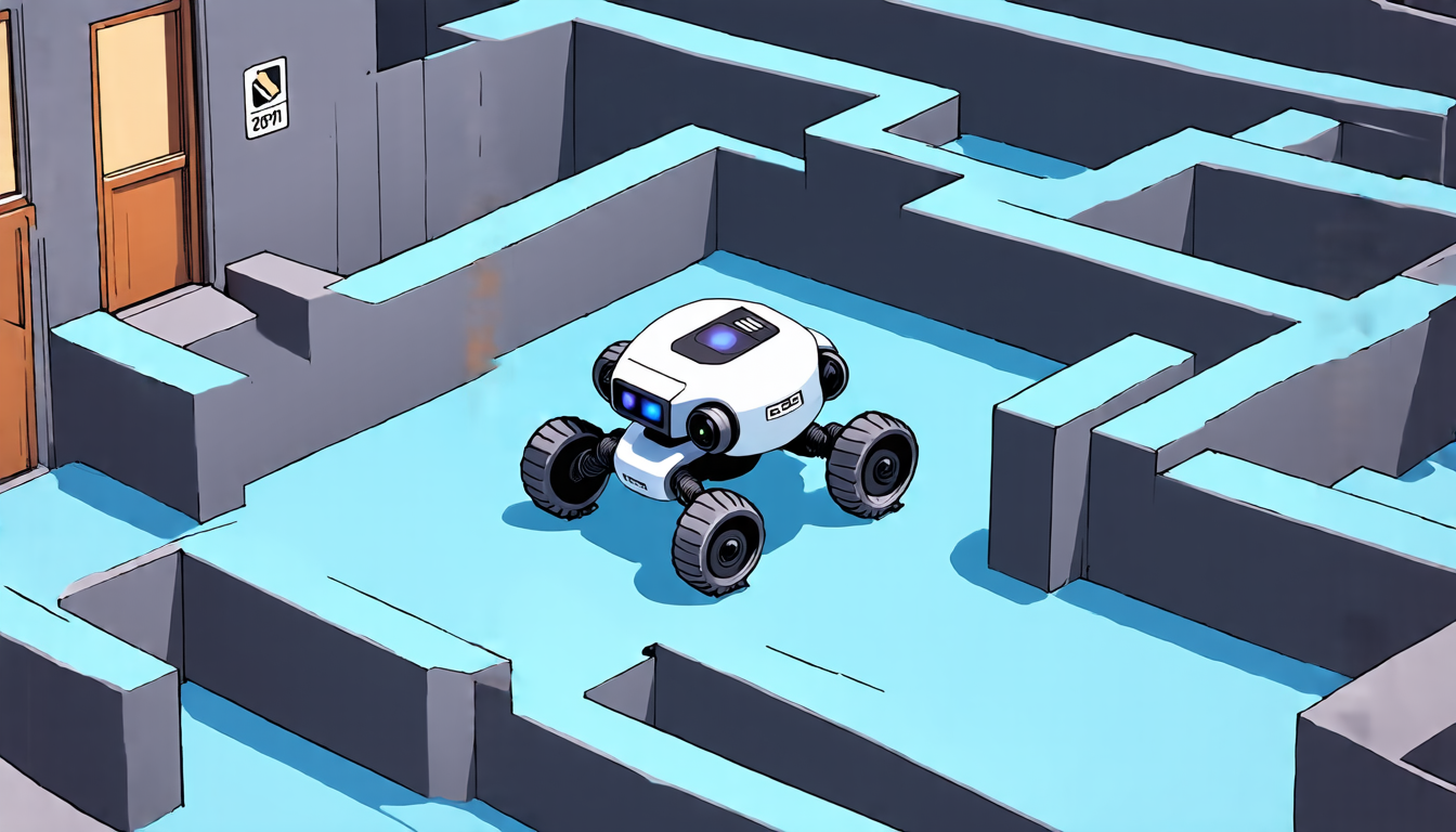
A team of researchers has developed a novel approach to coverage path planning for autonomous mobile robots, which could revolutionize the way these machines navigate and clean complex environments.
The problem that the researchers aimed to solve is a common one in robotics: how to get an autonomous robot to cover every inch of a large space, whether it’s a warehouse, a hospital, or a disaster zone. Traditional approaches to this problem often rely on pre-programmed maps of the environment, which can be time-consuming and error-prone to create.
The new approach, called Fast-Revisit Coverage Path Planning (FaRe-CPP), uses a combination of computer vision and machine learning algorithms to enable robots to adapt to changing environments and optimize their coverage paths in real-time.
Here’s how it works: first, the robot is equipped with a camera that captures images of its surroundings. These images are then processed using computer vision algorithms to identify areas of high importance, such as corridors or rooms.
Next, FaRe-CPP uses machine learning algorithms to analyze the processed images and generate a coverage path that maximizes the amount of area covered while minimizing the robot’s movement. This path is optimized in real-time, taking into account factors such as obstacles, traffic patterns, and sensor readings from other robots in the environment.
In a series of experiments, the researchers tested FaRe-CPP on a simulated environment and compared its performance to several existing algorithms. The results were impressive: FaRe-CPP consistently outperformed the other approaches in terms of coverage area and path length.
The implications of this technology are significant. Autonomous robots could be used for tasks such as cleaning hospitals, warehouses, or disaster zones more efficiently than ever before. They could also be used to monitor and respond to emergencies, such as fires or chemical spills.
In addition, the FaRe-CPP algorithm has potential applications in fields beyond robotics, such as urban planning, architecture, and environmental monitoring. By using machine learning algorithms to analyze images of cities, buildings, or natural environments, planners and designers could optimize infrastructure development and resource allocation more effectively.
Overall, the development of FaRe-CPP represents a major breakthrough in autonomous robotics and has far-reaching potential for improving efficiency, productivity, and safety in a wide range of industries.
Cite this article: “Fast-Revisit Coverage Path Planning Revolutionizes Autonomous Robot Navigation”, The Science Archive, 2025.
Autonomous Mobile Robots, Coverage Path Planning, Computer Vision, Machine Learning Algorithms, Robotics, Autonomous Navigation, Environmental Monitoring, Urban Planning, Architecture, Disaster Response


