
Saturday 08 March 2025
The humble radar sensor, a staple in many modern technologies, has just gotten a whole lot smarter. Researchers have figured out how to turn these sensors into mini-mapping machines, capable of creating detailed 3D models of their surroundings.
Radar technology has been around for decades, but its primary use has always been detecting movement and tracking objects. However, when it comes to mapping environments, radar’s limitations become apparent. Its resolution is limited by the physical size of the sensor array, making it difficult to capture fine details or accurately measure distances.
Enter Interferometric Synthetic Aperture Radar (InSAR), a technique that uses radar waves to create detailed maps of surfaces. By analyzing the phase differences between radar signals bounced off different parts of an object, InSAR can produce high-resolution images and accurate distance measurements.
The researchers behind this innovation have successfully applied InSAR to automotive radar sensors, turning them into mini-mapping machines capable of creating 3D point clouds of their surroundings. These point clouds are essentially digital replicas of the environment, complete with elevations, distances, and even textures.
To achieve this, the team used a simple yet effective approach: they combined InSAR processing with real-time signal processing schemes tailored to automotive driving. The result is a low-compute approach that can accurately map environments in real time, without requiring extensive computational resources.
The implications are significant. With radar sensors capable of creating detailed 3D maps, autonomous vehicles could potentially use this data to navigate complex environments, detect obstacles, and even predict potential hazards. InSAR-enabled radar sensors could also be used for various applications beyond automotive, such as monitoring environmental changes or mapping urban infrastructure.
One of the most impressive aspects of this technology is its ability to accurately capture fine details. The researchers demonstrated this by creating detailed maps of agricultural environments, complete with rows of grapevines and towering trees. They even managed to isolate objects that were close together, such as a person kneeling next to a grapevine.
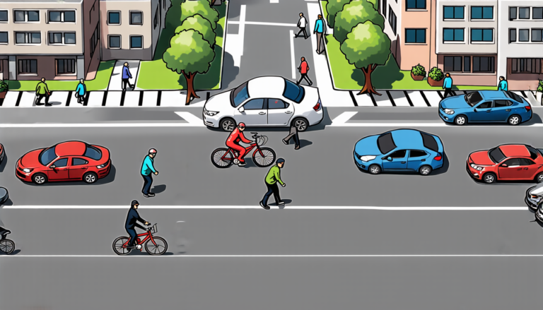
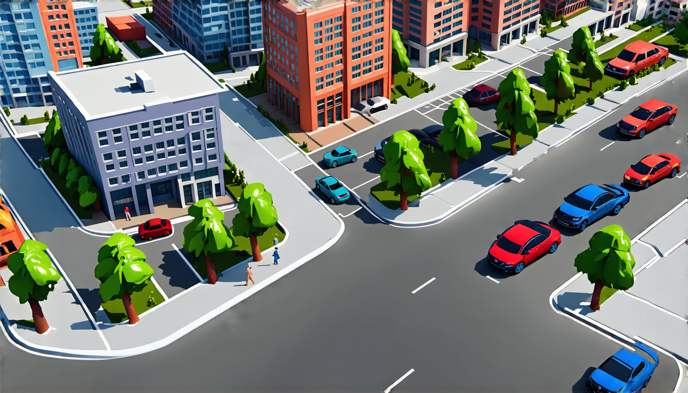
In urban environments, the results were equally impressive. The team created detailed maps of intersections, buildings, and even individual cars, complete with accurate elevations and textures. These point clouds could be used to create realistic simulations of urban environments, allowing researchers to test autonomous vehicles in virtual scenarios before deploying them on real roads.
The future is bright for InSAR-enabled radar sensors.
Cite this article: “Radar Sensors Get Smarter: Creating 3D Maps with Interferometric Synthetic Aperture Radar”, The Science Archive, 2025.
Radar, Mapping, 3D Models, Interferometric Synthetic Aperture Radar, Insar, Automotive, Autonomous Vehicles, Navigation, Environmental Monitoring, Urban Infrastructure.