

Monday 10 March 2025
Researchers have been working on creating interactive digital platforms that can help people learn and explore new information in a more engaging way. These platforms are designed to provide users with a immersive experience, allowing them to interact with multimedia content and navigate through it in a non-linear fashion.
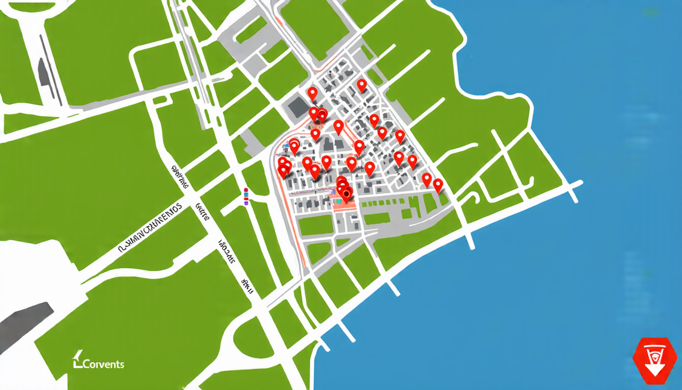
One such platform is the LxConventos project, which aimed to create an interactive map-based digital platform that allows users to explore and learn about the evolution of Lisbon’s urban landscape. The platform uses a combination of geographic information systems (GIS) and multimedia data to provide users with a rich and immersive experience.
The platform was developed by a team of researchers at the NOVA School of Science and Technology in Portugal, who used a range of technologies including GIS, computer vision, and machine learning to create the platform. The result is an interactive map that allows users to explore Lisbon’s urban landscape from the 19th century to the present day.
Another example is the LITESCAPE project, which aimed to create a digital atlas of Portuguese literature. The platform uses a combination of GIS and multimedia data to provide users with a comprehensive overview of Portugal’s literary heritage. Users can browse through the platform using a interactive map, and access information about different authors, works, and historical events.
The PASEV project is another example of an interactive digital platform that aims to create an auditory atlas of Évora, a city in southern Portugal. The platform uses a combination of GIS and multimedia data to provide users with an immersive experience of the city’s soundscape. Users can browse through the platform using an interactive map, and access information about different historical events and cultural heritage sites.
These platforms are not just limited to providing users with information; they also aim to engage them in a more meaningful way by allowing them to interact with the content. For example, users can click on a specific location on the map and access additional information or multimedia content related to that location.
The development of these platforms has required a range of skills and expertise, from GIS and computer vision to machine learning and user experience design. The researchers involved in these projects have had to work closely together to create a seamless and engaging user experience.
These platforms also have the potential to be used for a wide range of applications beyond just education and cultural heritage. For example, they could be used to help emergency responders navigate through disaster zones, or to provide tourists with information about local attractions and events.
Cite this article: “Interactive Digital Platforms: Enhancing Learning and Exploration”, The Science Archive, 2025.
Digital Platforms, Interactive Maps, Gis, Multimedia Content, Machine Learning, Computer Vision, User Experience Design, Educational, Cultural Heritage, Portugal





