

Monday 10 March 2025
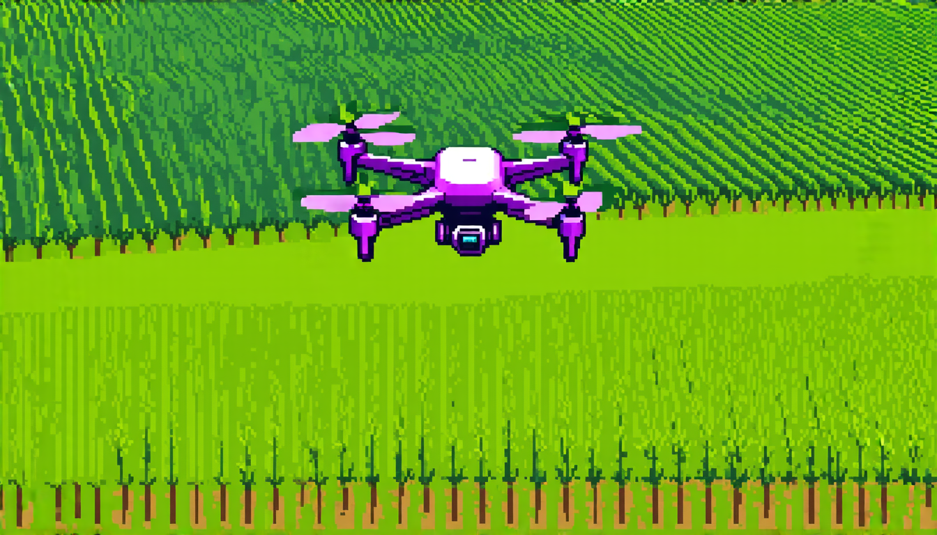
Researchers have been working on a project that could revolutionize the way drones fly and navigate. They’ve developed an algorithm that uses a smartphone’s camera to track features on the ground, allowing the drone to maintain its position and orientation without relying on expensive GPS equipment.
The system works by using the phone’s camera to capture images of the environment below, which are then processed to detect features such as corners, edges, and textures. These features are used to calculate the drone’s position and velocity, allowing it to make adjustments in real-time to stay on course.
One of the key challenges facing this technology is the limited refresh rate of smartphone cameras, which can struggle to keep up with the rapid movements of a flying drone. To overcome this, the researchers developed an algorithm that uses machine learning techniques to predict where features will be located based on past data and current camera images.
The results are impressive – in outdoor tests, the drone was able to maintain its position to within 18 centimeters (7 inches) of the target location, while indoor tests saw a margin of error of just 10.55 centimeters (4.15 inches). These numbers are comparable to those achieved by commercial drones using dedicated GPS and vision sensors.
The implications of this technology are significant – it could enable the creation of affordable and portable drone systems that can be used for a wide range of applications, from surveying and mapping to search and rescue missions. It also opens up new possibilities for smartphone-based drone control, allowing users to pilot their devices using nothing more than their phone’s camera and processing power.
One potential area of application is in agriculture – farmers could use the system to monitor crop health and detect pests or diseases without having to physically inspect every plant. The technology could also be used in search and rescue operations, where a drone equipped with this algorithm could quickly and accurately locate people trapped in rubble or debris.
Of course, there are still challenges to overcome before this technology can become widely adopted – the system will need to be tested in a variety of environments and scenarios to ensure its reliability and accuracy. But the potential benefits are significant, and researchers are excited about the possibilities that this new algorithm presents.
Cite this article: “Smartphone-Powered Drone Navigation: A Game-Changer in Flight Technology”, The Science Archive, 2025.
Drone, Navigation, Smartphone, Camera, Gps, Machine Learning, Algorithm, Position, Orientation, Accuracy





