
Friday 14 March 2025
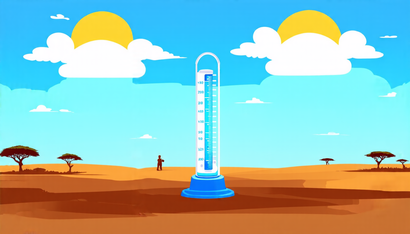
Rainfall is a vital component of our planet’s water cycle, and accurate measurements are crucial for understanding weather patterns, climate change, and agricultural planning. However, in many parts of the world, rain gauges are sparse or non-existent, making it difficult to obtain reliable data. This is where satellite-based rainfall estimates come in – a valuable tool for filling the gaps.
Researchers have been working on developing more accurate satellite-based rainfall products, which involve using data from multiple satellites and algorithms to estimate rainfall amounts. The latest study takes this approach a step further by evaluating eight different satellite- and reanalysis-based rainfall products over two African countries: Ghana and Zambia.
The researchers used a combination of rain gauges, radar, and satellite data to validate the accuracy of each product. They found that while none of the products performed perfectly, some showed significant improvements over others. For example, the CHIRPS product, which uses NASA’s Tropical Rainfall Measuring Mission (TRMM) data, exhibited high accuracy in detecting dry days in Zambia and northern Ghana.
On the other hand, all the products struggled to detect heavy rainfall events, with the probability of detection ranging from 0% to 70%. This highlights the challenges faced by satellite-based rainfall estimates in capturing extreme weather events. However, the study also found that products integrated with station data (such as ENACTS, CHIRPS, and TAMSAT) outperformed their counterparts under many contexts.
The results of this study have significant implications for climate services and research applications. For instance, accurate rainfall data is essential for predicting droughts and floods, which can have devastating impacts on agriculture and water resources. By using a combination of satellite- and station-based data, researchers can develop more reliable rainfall estimates that can inform decision-making at local, national, and global scales.
The study also highlights the importance of bias correction in satellite-based rainfall products. The results show varying levels of biases across different rainfall summaries, indicating that further research is needed to improve the accuracy of these products.
In terms of practical applications, the findings of this study can be used to develop more effective climate services and early warning systems for extreme weather events. For example, by identifying areas where satellite-based rainfall estimates are most accurate, researchers can prioritize resource allocation for monitoring and prediction efforts.
Overall, this study demonstrates the importance of developing reliable and accurate rainfall estimates using a combination of satellite- and station-based data.
Cite this article: “Evaluating Satellite-Based Rainfall Estimates in Africa”, The Science Archive, 2025.
Rainfall Estimation, Satellite Remote Sensing, Climate Services, Water Cycle, Weather Patterns, Agricultural Planning, Ghana, Zambia, Africa, Radar Data, Rain Gauges