Saturday 15 March 2025
Cities are complex systems, filled with intricate networks of people, places, and things. Understanding how these systems work is crucial for urban planners and policymakers trying to make sense of the ever-changing landscape of our cities. A recent paper has shed new light on this problem by developing a novel method for identifying overlapping communities within these systems.
The researchers started by analyzing data from Washington D.C.’s e-scooter sharing system, which provides a unique lens through which to study human mobility patterns. By examining the movement patterns of riders, they were able to identify distinct community structures that emerge at different scales. These communities are not just geographical clusters, but also reflect underlying social and economic patterns.
The team then developed a new method for detecting overlapping communities, which they call the Geospatial Interaction Propagation (GIP) model. This model takes into account the complex relationships between people, places, and things, and uses a novel combination of machine learning algorithms and spatial analysis techniques to identify community boundaries.
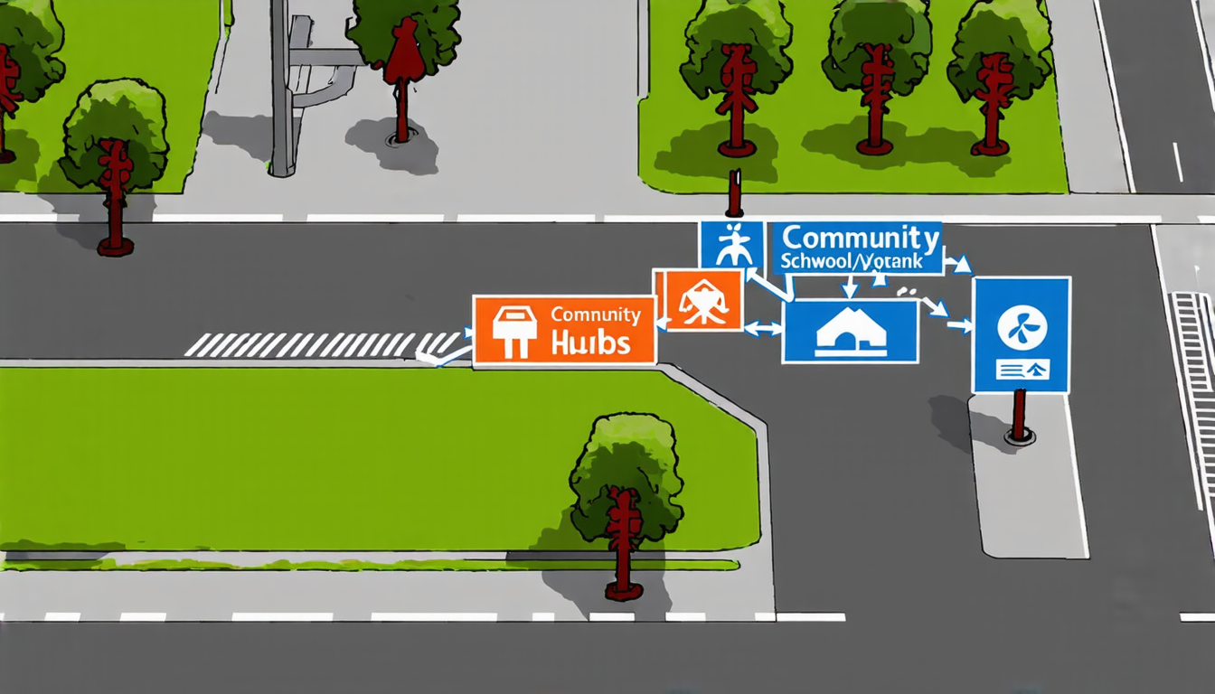
One of the key insights from this research is that overlapping communities are not just random clusters of people, but rather reflect underlying social and economic patterns. For example, areas with high public recreation demand, such as parks and public spaces, tend to be hubs for multiple communities. These areas provide convenient transportation options and a variety of activities, making them attractive to different groups of people.
On the other hand, non-overlapping communities are often characterized by lower-income residents, longer commutes, and limited public transportation services. This suggests that urban planners may need to think carefully about how to allocate resources and services in these areas to ensure equal access to opportunities.
The GIP model has important implications for urban planning and policy-making. By identifying overlapping community structures, policymakers can better understand the complex social and economic dynamics at play in their cities. This information can be used to design more effective transportation systems, allocate resources more equitably, and create more inclusive public spaces.
In addition to its practical applications, this research also highlights the importance of considering the complex interactions between people, places, and things when studying urban systems. By taking a holistic approach that incorporates both spatial analysis and machine learning techniques, researchers can gain new insights into the intricate networks that shape our cities.
The GIP model is not limited to e-scooter sharing systems or even transportation networks. Its applications are potentially vast, ranging from public health policy to urban design and planning.
Cite this article: “Unpacking Urban Complexity: A Novel Approach to Identifying Overlapping Communities”, The Science Archive, 2025.
Urban Systems, Overlapping Communities, E-Scooter Sharing, Machine Learning, Spatial Analysis, Transportation Networks, Public Spaces, Resource Allocation, Urban Planning, Policy-Making