Sunday 16 March 2025
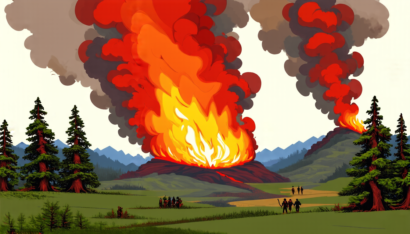
A team of researchers has developed a sophisticated new approach to mapping wildfires, combining advanced machine learning techniques with high-resolution satellite imagery to produce accurate and detailed maps of burned areas.
The system, which uses a variant of the Kolmogorov-Arnold network architecture, is able to accurately identify and distinguish between burned and unburned areas, even in complex terrain. The researchers tested their approach using data from four significant wildfires in California, achieving an overall accuracy rate of nearly 99%.
One of the key challenges in mapping wildfires is dealing with the complex interactions between different environmental factors, such as vegetation type, topography, and weather conditions. The new system addresses this challenge by incorporating a range of satellite imagery bands into its analysis, including visible, infrared, and radar data.
The researchers found that the system was able to accurately identify areas of dense shrubland, which are particularly prone to burning, and distinguish them from other types of vegetation. They also found that the system performed well in areas with high levels of urbanization, where buildings and infrastructure can create complex patterns of fire spread.
One of the most significant advantages of the new system is its ability to provide detailed information about the severity of wildfires, including the extent of burned areas and the intensity of the fires themselves. This information is critical for emergency responders, who need to be able to quickly assess the situation on the ground and develop effective response strategies.
The researchers are already working to improve their approach, incorporating new data sources and refining their algorithms to further increase accuracy. They hope that their work will ultimately contribute to more effective wildfire management and mitigation efforts.
The development of this new system is an important step forward in the field of remote sensing, demonstrating the power of machine learning and advanced satellite imagery in addressing complex environmental challenges. As researchers continue to refine and improve their approach, it’s likely that we’ll see even more accurate and detailed maps of wildfires in the future.
Cite this article: “High-Accuracy Wildfire Mapping System Developed Using Machine Learning and Satellite Imagery”, The Science Archive, 2025.
Wildfires, Remote Sensing, Machine Learning, Satellite Imagery, Kolmogorov-Arnold Network Architecture, Burned Areas, Accuracy Rate, Environmental Factors, Vegetation Type, Topography