
Thursday 27 March 2025
In the vast expanse of the ocean, a crucial yet often overlooked component is at work: the air-sea interface. This boundary layer plays a significant role in determining the fate of marine communications, as wind speed and direction directly impact signal transmission. However, accurately measuring these variables has long been a challenge, with satellite remote sensing data often limited by spatial and temporal resolution.
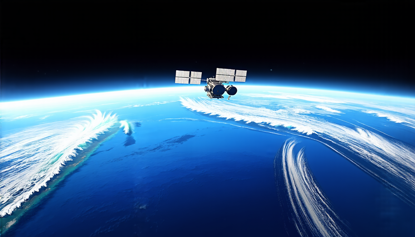
Researchers have made strides in addressing this issue through the development of sophisticated algorithms that can correct for biases in wind speed data obtained from satellites such as the European Space Agency’s (ESA) Sentinel-1A. By combining neural networks with COARE V3.5, a widely used algorithm for calculating air-sea fluxes, scientists have been able to significantly improve the accuracy of wind speed measurements.
The study focused on the coastal region, where marine communications are particularly critical due to the high volume of maritime traffic and economic activity. The team utilized SAR (Synthetic Aperture Radar) wind speed data from Sentinel-1A, paired with reanalysis data and buoy measurements, to train their neural network model.
Results showed that after correcting for biases using the neural network approach, the accuracy of wind speed measurements improved significantly. Friction velocity, a critical parameter in air-sea flux calculations, was reduced by 0.03 m/s, while wind stress bias decreased from -0.03 N/m² to 0.00 N/m².
These findings have important implications for maritime communication systems, which rely on accurate wind speed and direction data to maintain reliable signal transmission. By improving the accuracy of these measurements, researchers can better inform the design and operation of marine communication networks, ultimately enhancing the efficiency and reliability of global shipping and commerce.
The use of neural networks in this study demonstrates the potential for machine learning techniques to improve the quality of satellite remote sensing data, particularly in regions where traditional measurement methods are limited. As the demand for high-quality environmental data continues to grow, innovative approaches like this may play a key role in advancing our understanding of complex oceanic systems and informing effective decision-making.
The researchers’ work highlights the importance of integrating multiple datasets and techniques to achieve accurate air-sea flux measurements. By combining satellite remote sensing with reanalysis data and buoy measurements, scientists can create more comprehensive and reliable estimates of wind speed and direction, ultimately benefiting a wide range of applications, from marine communications to climate modeling and beyond.
Cite this article: “Improving Marine Communication Networks through Enhanced Wind Speed Measurements”, The Science Archive, 2025.
Air-Sea Interface, Oceanography, Satellite Remote Sensing, Wind Speed, Neural Networks, Coare V3.5, Synthetic Aperture Radar, Maritime Communication Systems, Friction Velocity, Machine Learning