
Friday 28 March 2025
A team of researchers has developed a new artificial intelligence model that can learn to segment complex scenes in remote sensing images, without requiring extensive human annotation or fine-tuning. The model, called UrbanSAM, is designed to tackle the challenges of urban environment monitoring, where images often feature diverse objects and structures.
Traditional approaches to image segmentation rely on manual labeling of training data, which can be time-consuming and costly. In contrast, UrbanSAM uses a novel learnable prompter that adapts to the specific characteristics of remote sensing images. This allows the model to automatically extract relevant features and segment objects in the scene, without requiring human intervention.
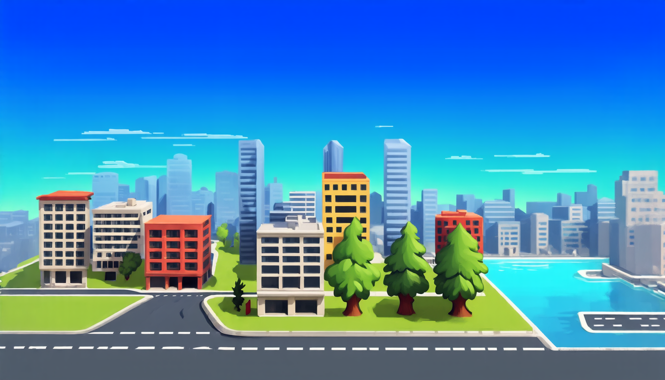
The researchers tested UrbanSAM on a global-scale dataset featuring urban scenes with varying levels of complexity. The results showed that the model was able to accurately identify buildings, roads, and water bodies, even when they appeared in different scales or orientations. This level of precision is particularly important for applications such as emergency response, urban planning, and environmental monitoring.
One key advantage of UrbanSAM is its ability to generalize across diverse scenes and sensors. Unlike traditional models that are trained on specific datasets or sensors, UrbanSAM can adapt to new images and sensors with minimal additional training. This makes it a versatile tool for applications where data is limited or constantly changing.
The development of UrbanSAM has significant implications for the field of remote sensing. By automating the process of image segmentation, researchers can focus on higher-level tasks such as feature extraction and analysis. This could lead to new insights into urban phenomena, such as traffic patterns, population growth, and environmental degradation.
UrbanSAM also highlights the potential of foundation models in remote sensing. Foundation models are pre-trained AI models that can be fine-tuned for specific applications. In this case, UrbanSAM is a foundation model that can be adapted for various remote sensing tasks, from object detection to scene understanding.
The researchers plan to continue developing and refining UrbanSAM, with the goal of making it even more effective and versatile. They also hope to explore new applications for the model, such as monitoring natural disasters or tracking climate change. As the technology continues to evolve, it could have a major impact on our ability to understand and manage complex urban environments.
Cite this article: “UrbanSAM: A Novel AI Model for Efficient Image Segmentation in Remote Sensing”, The Science Archive, 2025.
Remote Sensing, Artificial Intelligence, Image Segmentation, Urban Environment Monitoring, Learnable Prompter, Foundation Models, Object Detection, Scene Understanding, Natural Disasters, Climate Change.