
Friday 28 March 2025
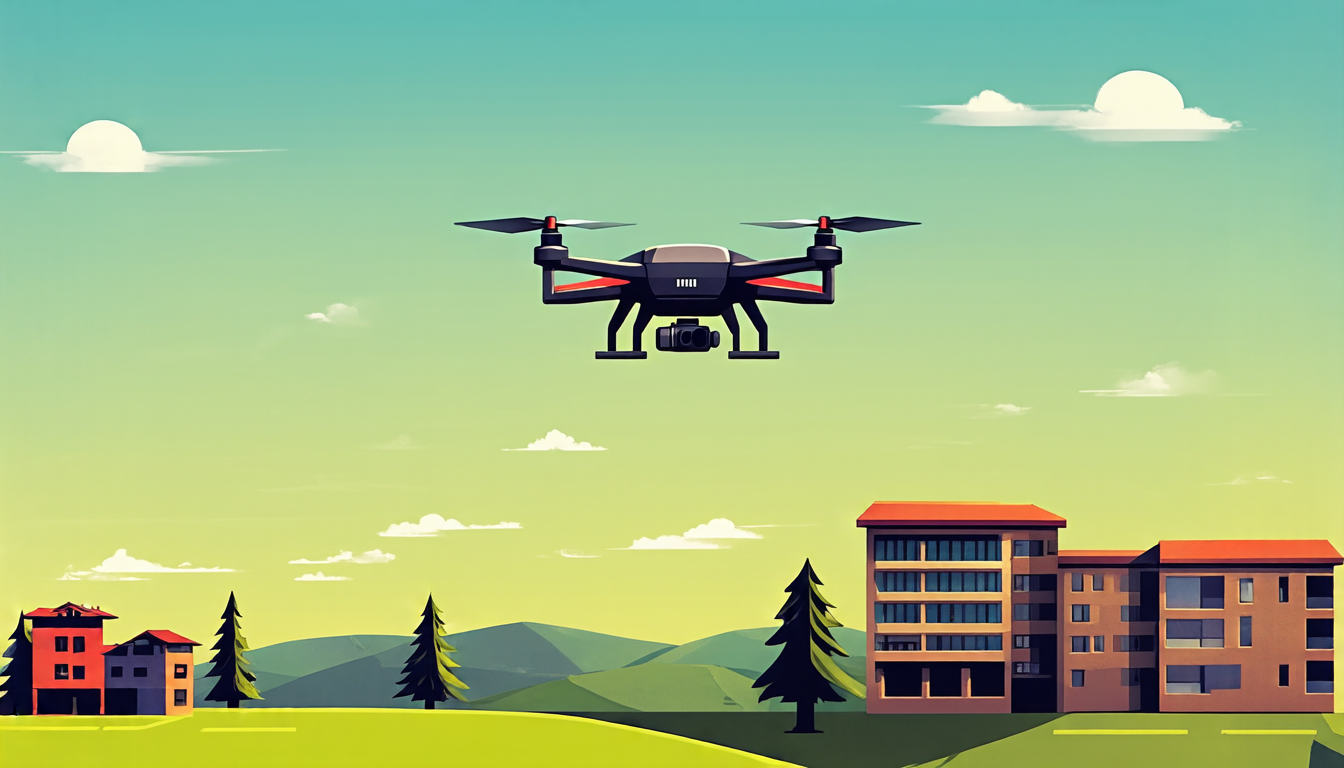
A team of researchers has made a significant breakthrough in developing an innovative method for unmanned aerial vehicles (UAVs) to accurately locate themselves in areas where traditional navigation systems are unreliable or unavailable.
The new approach, known as Geographic Information Guided Contrastive Learning (G2CL), uses a deep learning framework that integrates geographic information to enhance object localization and spatial awareness. This enables UAVs to navigate more effectively and efficiently in complex environments.
Traditionally, cross-view geo-localization methods rely on matching ground objects in the UAV’s view with remote sensing images from satellites or other sources. However, these methods often struggle to provide precise positioning due to variations in lighting, weather conditions, and object appearances.
The G2CL method addresses this challenge by incorporating geographic information into the contrastive learning process. The system learns to align UAV images with corresponding satellite imagery in fine detail, taking into account the spatial distribution of objects in the images.
The researchers evaluated their approach using a dataset of UAV images and satellite data, demonstrating significant improvements in accuracy compared to traditional methods. The G2CL method achieved an average precision of 94%, surpassing state-of-the-art results.
This breakthrough has far-reaching implications for various industries, including search and rescue operations, environmental monitoring, and infrastructure inspection. By enabling more accurate and reliable UAV navigation, the G2CL method can help reduce response times, improve data collection quality, and increase overall efficiency.
The researchers are now exploring ways to further refine their approach and integrate it with other technologies, such as machine learning algorithms and sensor fusion techniques. As the use of UAVs continues to expand in various fields, innovations like the G2CL method will be crucial in ensuring their safe and effective operation.
This development highlights the potential for deep learning frameworks to revolutionize traditional navigation systems and improve our ability to navigate complex environments. The integration of geographic information into contrastive learning holds great promise for a wide range of applications, from autonomous vehicles to environmental monitoring.
Cite this article: “Unlocking Accurate Navigation with Geographic Information Guided Contrastive Learning”, The Science Archive, 2025.
Uavs, Geographic Information, Navigation Systems, Deep Learning, Contrastive Learning, Object Localization, Spatial Awareness, Satellite Imagery, Precision, Accuracy