

Wednesday 09 April 2025
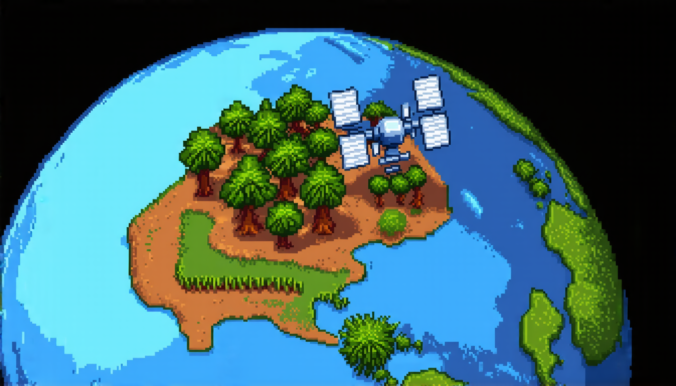
Recently, a team of researchers made significant strides in developing a new type of artificial intelligence that can understand and interpret remote sensing images. These images are used to capture information about the Earth’s surface, such as land use patterns, climate changes, and natural disasters.
The new AI system is called Vision-Language Models (VLMs), and it’s designed to work with a specific type of data known as remote sensing imagery. This data is typically collected by satellites or aircraft equipped with cameras and sensors that capture detailed images of the Earth’s surface.
Traditionally, researchers have relied on machine learning algorithms to analyze this data, but these algorithms can be limited in their ability to understand the context and nuances of the images. VLMs, on the other hand, are designed to learn from both visual and textual information, allowing them to better comprehend the relationships between different features in an image.
The researchers created two new datasets specifically for training VLMs: RS-WebLI and RS-Landmarks. RS-WebLI is a large-scale dataset derived from filtering and curating aerial and satellite imagery, while RS-Landmarks is a dataset enriched with high-quality captions generated by the Gemini teacher model using information extracted from Google Maps.
The team trained their VLM foundation model on these datasets and demonstrated state-of-the-art cross-modal retrieval performance across public benchmarks. They also developed a self-supervised zero-shot fine-tuning scheme for pseudo-labeling, which allows the AI to refine its understanding of remote sensing images without additional labeled data.
One of the key benefits of VLMs is their ability to generalize well to unseen classes. This means that they can learn from a small set of training data and then apply what they’ve learned to new, unrelated images. In the context of remote sensing, this could enable researchers to identify patterns and trends in satellite imagery without needing extensive labeled datasets.
The potential applications of VLMs are vast and varied. For example, they could be used to monitor changes in land use patterns, track natural disasters like wildfires or hurricanes, or even help detect signs of climate change. By providing a better understanding of remote sensing images, VLMs could ultimately aid in the development of more effective solutions for addressing some of the world’s most pressing environmental challenges.
Overall, the researchers’ work represents an important step forward in the field of remote sensing and has significant implications for our ability to analyze and understand complex data sets.
Cite this article: “Remote Sensing Revolution: Unlocking the Power of Vision-Language Models”, The Science Archive, 2025.
Artificial Intelligence, Remote Sensing, Satellite Imagery, Machine Learning, Vision-Language Models, Natural Disasters, Climate Change, Land Use Patterns, Google Maps, Gemini Teacher Model.





