
Wednesday 09 April 2025
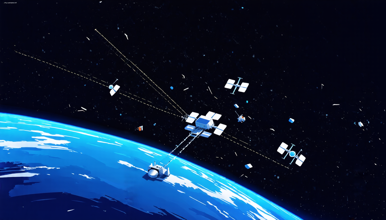
Scientists have made a significant breakthrough in their quest to track and catalog space debris, making it easier to predict when these unwanted objects might collide with operational spacecraft.
For decades, researchers have struggled to accurately determine the orbits of small and medium-sized space debris, which can pose a serious risk to functioning satellites and even the International Space Station. This is because traditional methods rely on multiple observations from different locations, which are often difficult to obtain for smaller pieces of debris.
Now, a team of scientists has developed three new algorithms that can use data from single radar stations to accurately determine the orbits of space debris. The algorithms work by analyzing the range and range-rate measurements taken by the radar station, as well as any available angular information.
The first algorithm is designed for situations where only range and range-rate measurements are available. It uses a technique called differential algebraic methods to solve the orbit determination problem, effectively eliminating the need for multiple observations from different locations.
In tests using real data from two space debris objects, this algorithm was able to accurately determine their orbits within a few kilometers of their actual positions. The researchers believe that this method could be particularly useful for tracking smaller pieces of debris, which are often difficult to detect and track.
The second algorithm is designed for situations where angular information is available from the radar station. This allows the researchers to use more advanced techniques, such as Lambert arc methods, to determine the orbit of the space debris.
In tests using simulated data, this algorithm was able to accurately determine the orbits of several space debris objects within a few meters of their actual positions.
The third and most advanced algorithm combines both range and angular information to provide even more accurate orbit determinations. This method is particularly useful for situations where multiple radar stations are available, as it can use the data from each station to create a more comprehensive picture of the space debris’s orbit.
The researchers believe that these algorithms have the potential to significantly improve our understanding of space debris and help to reduce the risk of collisions between operational spacecraft. They plan to continue testing and refining their methods in the coming years, with the ultimate goal of incorporating them into existing tracking systems.
For now, however, the implications of this breakthrough are clear: it’s one step closer to a safer and more sustainable future for space exploration.
Cite this article: “Cracking the Code to Space Debris Identification: New Algorithms Unlock Secrets of Celestial Bodies”, The Science Archive, 2025.
Space Debris, Orbit Determination, Radar Stations, Algorithms, Range-Rate Measurements, Angular Information, Differential Algebraic Methods, Lambert Arc Methods, Space Exploration, Satellite Safety.