Friday 01 August 2025
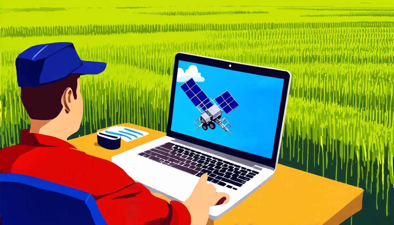
The field of remote sensing, which involves using cameras and sensors to gather data about our planet, has come a long way in recent years. Thanks to advances in technology, researchers are now able to analyze vast amounts of visual data from satellites and other sources, gaining insights into everything from crop health to urban development.
But despite these advancements, there’s still a major challenge facing remote sensing experts: making sense of the sheer volume of data they’re collecting. With millions of images pouring in every day, it can be difficult for researchers to identify patterns, track changes over time, and make accurate predictions about what’s happening on our planet.
That’s where SpatialNet- ViT comes in. This new approach uses a type of artificial intelligence called a transformer to analyze remote sensing data, allowing researchers to extract valuable information from large datasets with unprecedented speed and accuracy.
The key innovation behind SpatialNet-ViT is its ability to capture long-range dependencies within images, something that traditional computer vision approaches have struggled with. By using transformers, which are designed to process sequential data like text or audio, the model can identify patterns and relationships between different parts of an image that might not be immediately obvious.
This has a number of practical applications in remote sensing. For example, researchers could use SpatialNet-ViT to track changes in land cover over time, monitoring deforestation, urbanization, or other environmental trends. They could also use the model to identify patterns in crop health, allowing farmers to make more informed decisions about irrigation and pest control.
The potential benefits of SpatialNet-ViT are significant. By automating the process of analyzing remote sensing data, researchers can free up time to focus on higher-level tasks like developing new applications for their findings or working with policymakers to develop evidence-based solutions to environmental challenges.
In addition to its practical applications, SpatialNet-ViT also represents an important milestone in the development of artificial intelligence. By demonstrating that transformers can be used effectively in computer vision tasks, researchers have opened up new possibilities for applying these models to a wide range of problems.
The future of remote sensing is likely to involve even more sophisticated approaches like SpatialNet-ViT, as well as advances in areas like satellite technology and data storage. As our ability to collect and analyze data continues to grow, we can expect to see new breakthroughs and innovations that will help us better understand and protect our planet.
Cite this article: “Unlocking Insights with SpatialNet-ViT: A New Approach for Remote Sensing Data Analysis”, The Science Archive, 2025.
Remote Sensing, Artificial Intelligence, Transformers, Computer Vision, Satellite Technology, Data Storage, Spatial Analysis, Environmental Monitoring, Crop Health, Urban Development


