Wednesday 24 September 2025
A team of researchers has developed a revolutionary new way to create highly accurate maps of urban road networks using deep learning algorithms and street view images. This innovative approach could transform the way we plan and navigate cities, making transportation more efficient and safer.
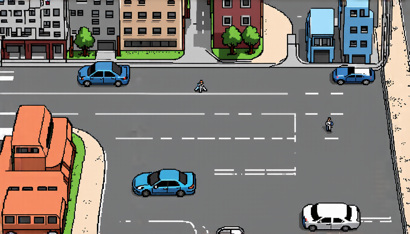
The traditional method of creating maps involves collecting data through manual surveys or expensive point cloud technology. However, this process is time-consuming, labor-intensive, and often limited in scope. The new system, on the other hand, uses artificial intelligence to automatically generate lane-level simulation road networks from street view images, allowing for much more detailed and accurate maps.
The researchers used a combination of convolutional neural networks (CNNs) and transformers to develop their algorithm. CNNs are particularly well-suited for image recognition tasks, while transformers excel at processing sequential data such as text or video frames. By combining these two techniques, the team was able to create an AI that can accurately detect lane lines, road types, and other important features in street view images.
To train their model, the researchers used a large dataset of street view images collected from various cities around the world. They also incorporated real-world data on traffic patterns and road conditions to make the simulations more realistic. The resulting maps are incredibly detailed, showing not only the layout of roads but also the location of lanes, intersections, and other features.
The potential applications of this technology are vast. For one, it could be used to create highly accurate digital twins of cities, allowing urban planners to simulate and test different scenarios before implementing them in real life. This could help reduce traffic congestion, improve public safety, and increase the efficiency of emergency services.
Additionally, the system could be used to support autonomous vehicles by providing them with detailed maps of the road network. This would enable self-driving cars to navigate cities more accurately and safely, reducing the risk of accidents and improving the overall driving experience.
The researchers are already working on further refining their algorithm and expanding its capabilities. They hope that their technology will eventually be used to improve the way we live and work in cities around the world.
In the future, this AI-powered mapping system could revolutionize the way we understand and interact with urban environments. By providing highly accurate maps of road networks, it has the potential to make a significant impact on transportation, urban planning, and many other areas of our lives.
Cite this article: “AI-Powered Road Mapping Revolutionizes Urban Navigation”, The Science Archive, 2025.
Deep Learning, Street View Images, Urban Road Networks, Mapping, Artificial Intelligence, Convolutional Neural Networks, Transformers, Lane-Level Simulation, Digital Twins, Autonomous Vehicles


