Friday 31 January 2025
The world of spatial data analysis has just gotten a whole lot more interesting. A team of researchers has developed a new statistical model that can accurately capture complex relationships between geographic locations and non-normal data distributions. This breakthrough could have significant implications for fields such as epidemiology, environmental science, and urban planning.
The new model, known as the generalized spatial autoregressive (GSAR) model, is an extension of traditional spatial autoregressive models. While these models are great at analyzing normal-distributed data, they often fall short when dealing with non-normal distributions like Poisson or binomial data. The GSAR model addresses this limitation by incorporating a spatial dependence structure into the linear predictor for all variables whose distribution is in the exponential family.
The researchers behind the GSAR model used a combination of theoretical and empirical approaches to develop their new method. They first derived the asymptotic properties of the estimators, which provides a robust framework for practical implementation. Then, they developed an algorithm in R software that makes it easy to apply the GSAR model to real-world data.
The team tested their model using simulated data and found that it outperformed other approaches in terms of accuracy and consistency. They also applied the GSAR model to a real-world dataset from the 2020 US presidential election, analyzing the influence of various factors on voting patterns across different counties.
One of the key advantages of the GSAR model is its ability to capture complex spatial relationships between non-normal data distributions. For example, in the context of epidemiology, this could help researchers identify hotspots of disease transmission and develop targeted interventions.
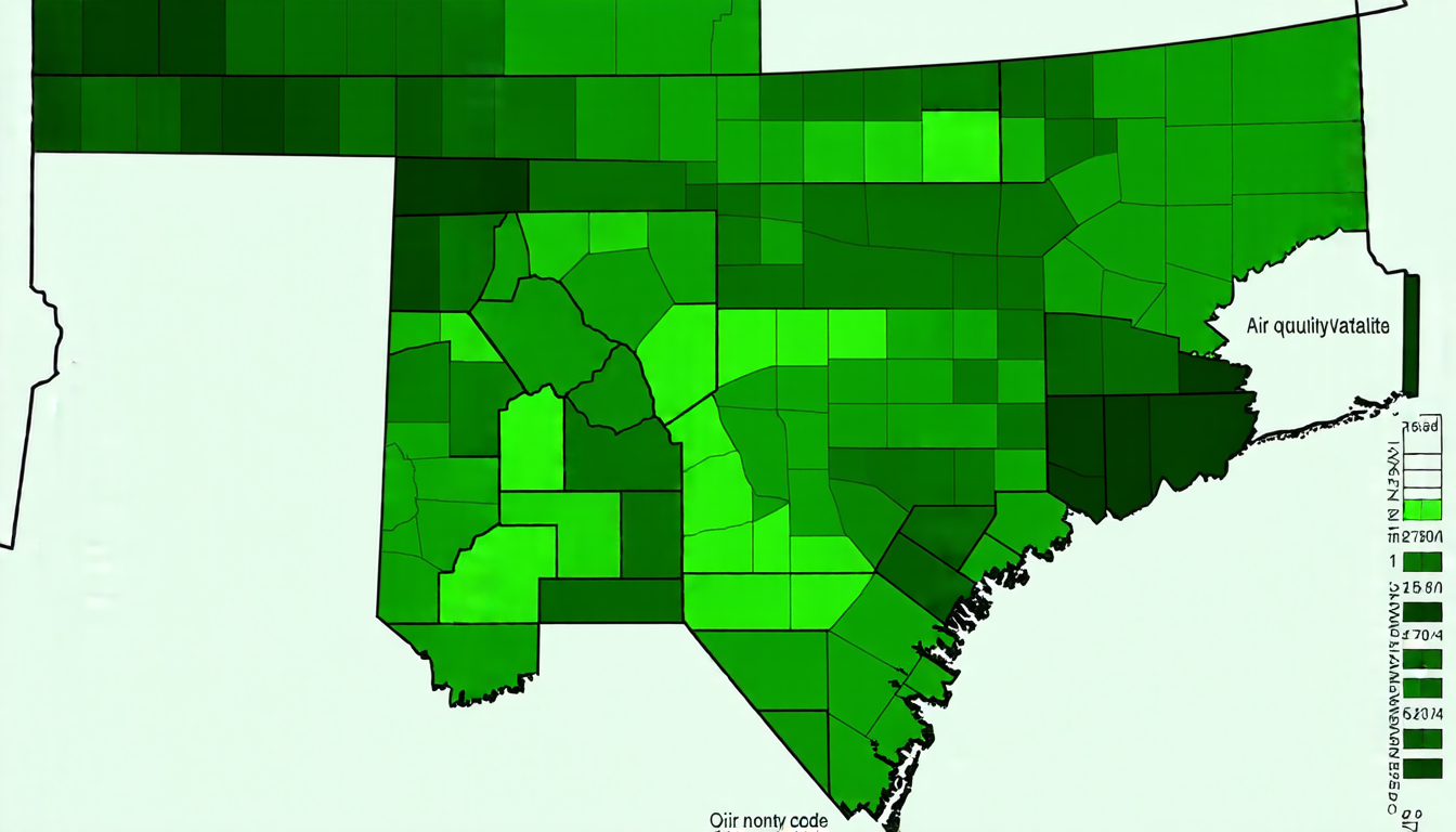
The GSAR model also has implications for urban planning and environmental science. By analyzing the relationship between environmental factors like air quality and population density, policymakers can make more informed decisions about how to allocate resources and mitigate the effects of pollution.
In practical terms, the GSAR model is relatively easy to implement using R software. This makes it accessible to researchers and practitioners who may not have extensive expertise in spatial statistics or programming.
Overall, the development of the GSAR model marks a significant step forward in the field of spatial data analysis. Its ability to capture complex relationships between non-normal data distributions has the potential to revolutionize our understanding of geographic patterns and inform more effective decision-making across a range of fields.
Cite this article: “New Statistical Model Enhances Spatial Data Analysis”, The Science Archive, 2025.
Spatial Data Analysis, Statistical Model, Generalized Spatial Autoregressive, Non-Normal Distributions, Poisson Data, Binomial Data, Exponential Family, Spatial Dependence Structure, R Software, Epidemiology
Reference: N. A. Cruz, J. D. Toloza-Delgado, O. O. Melo, “Generalized spatial autoregressive model” (2024).