Sunday 02 February 2025
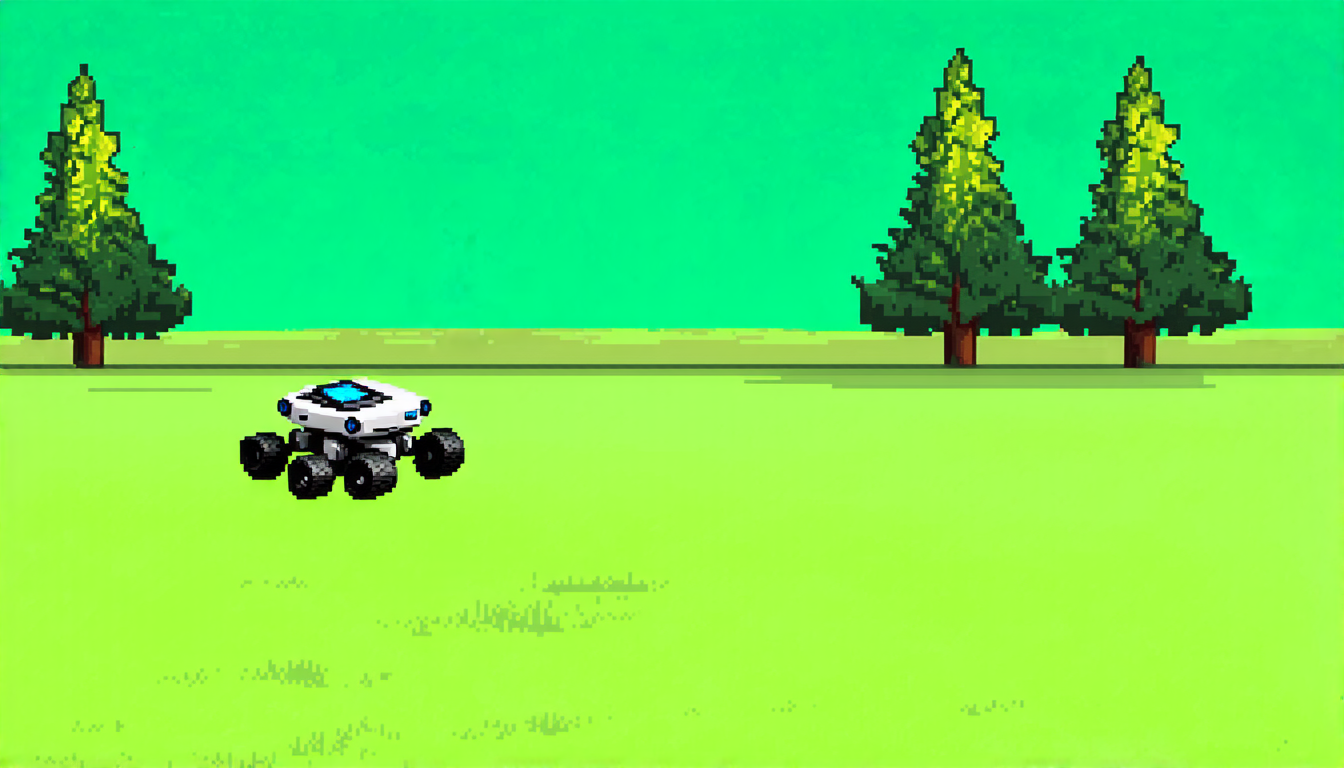
As autonomous agricultural robots become increasingly prevalent, researchers are working to develop more efficient and effective methods for these machines to navigate and map their surroundings. One key challenge is ensuring that the robots can accurately detect and track obstacles, such as trees or other crops, while also avoiding collisions and maintaining a steady pace.
To address this issue, scientists have developed advanced computer algorithms that use data from 3D LiDAR sensors to create detailed maps of the environment. These maps are essential for enabling the robots to navigate complex terrain and make precise decisions about where to move next.
However, creating these maps requires powerful computing resources and sophisticated software. In a recent paper, researchers described a new algorithm called AG-LOAM that uses a combination of 3D LiDAR data and motion stability filters to create highly accurate maps in real-time.
AG-LOAM is designed to work in a variety of environments, from simple fields to complex orchards with many trees. The algorithm uses the LiDAR sensor to scan the environment and detect obstacles, then applies advanced filtering techniques to remove noise and distortion from the data.
One key innovation of AG-LOAM is its ability to adapt to changing conditions on the fly. For example, if a robot encounters a sudden change in terrain or a new obstacle appears in its path, the algorithm can quickly adjust its map and navigation plan accordingly.
The researchers tested AG-LOAM using a range of datasets from real-world agricultural environments, including fields, orchards, and forests. They found that the algorithm outperformed existing methods in terms of accuracy and speed, making it well-suited for use in autonomous agricultural robots.
AG-LOAM has significant implications for the development of autonomous farming technologies. By enabling robots to create highly accurate maps of their surroundings in real-time, the algorithm could improve crop monitoring and harvesting efficiency, reduce labor costs, and even enable precision agriculture techniques like targeted pesticide application.
As the world grapples with the challenges of feeding a growing global population, innovative technologies like AG-LOAM are critical for ensuring a sustainable food supply. By harnessing the power of advanced computer algorithms and machine learning, scientists are working to create more efficient, effective, and environmentally friendly farming practices that can help meet the demands of the future.
Cite this article: “Accurate Mapping for Autonomous Agricultural Robots”, The Science Archive, 2025.
Autonomous Agricultural Robots, 3D Lidar Sensors, Computer Algorithms, Navigation, Mapping, Obstacle Detection, Collision Avoidance, Precision Agriculture, Sustainable Food Supply, Machine Learning.


