

Wednesday 05 March 2025
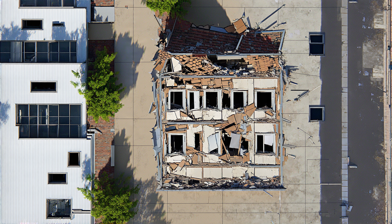
A new dataset has been created that could revolutionize our ability to assess damage after natural disasters. The dataset, called BRIGHT (Building damage assessment using veRy- hIGH-resolution optical and SAR imagery), is a collection of high-resolution satellite images from around the world. These images can be used to quickly identify damaged buildings and estimate the severity of the destruction.
The dataset was created by a team of researchers who recognized that traditional methods for assessing disaster damage are often slow and unreliable. They wanted to develop a more efficient way to assess damage, so they turned to machine learning algorithms. By training these algorithms on large datasets like BRIGHT, they can quickly identify patterns in the images and make accurate predictions about damaged buildings.
BRIGHT is unique because it includes images from both optical and synthetic aperture radar (SAR) satellites. Optical satellites use visible light to capture images of the Earth’s surface, while SAR satellites use radio waves to penetrate clouds and vegetation. This combination of data allows researchers to create more accurate damage assessments by combining the strengths of each type of image.
The dataset includes images from five types of natural disasters – earthquakes, hurricanes, floods, landslides, and wildfires – as well as two types of man-made disasters – explosions and industrial accidents. The images were collected over 12 regions around the world, including both developed and developing countries.
Researchers can use BRIGHT to train machine learning algorithms that can quickly identify damaged buildings after a disaster. This could help emergency responders prioritize their efforts and allocate resources more effectively. It could also help policymakers make more informed decisions about how to rebuild and recover after a disaster.
One of the most promising applications of BRIGHT is in disaster response. By quickly identifying damaged buildings, emergency responders can focus their efforts on the areas that need them most. This could save lives and reduce the overall cost of responding to a disaster.
BRIGHT is also an important tool for researchers who study natural disasters. By analyzing large datasets like this one, they can gain insights into the patterns and trends of different types of disasters. This knowledge can be used to improve disaster preparedness and response efforts around the world.
Overall, BRIGHT is an exciting new dataset that has the potential to revolutionize our ability to assess damage after natural disasters. Its combination of high-resolution images from optical and SAR satellites makes it a powerful tool for researchers and emergency responders alike.
Cite this article: “Revolutionizing Disaster Response: Introducing BRIGHT, a High-Resolution Satellite Image Dataset”, The Science Archive, 2025.
Natural Disasters, Satellite Imagery, Machine Learning, Building Damage Assessment, Disaster Response, Optical Satellites, Sar Satellites, High-Resolution Images, Emergency Responders, Data Analysis





