Monday 10 March 2025
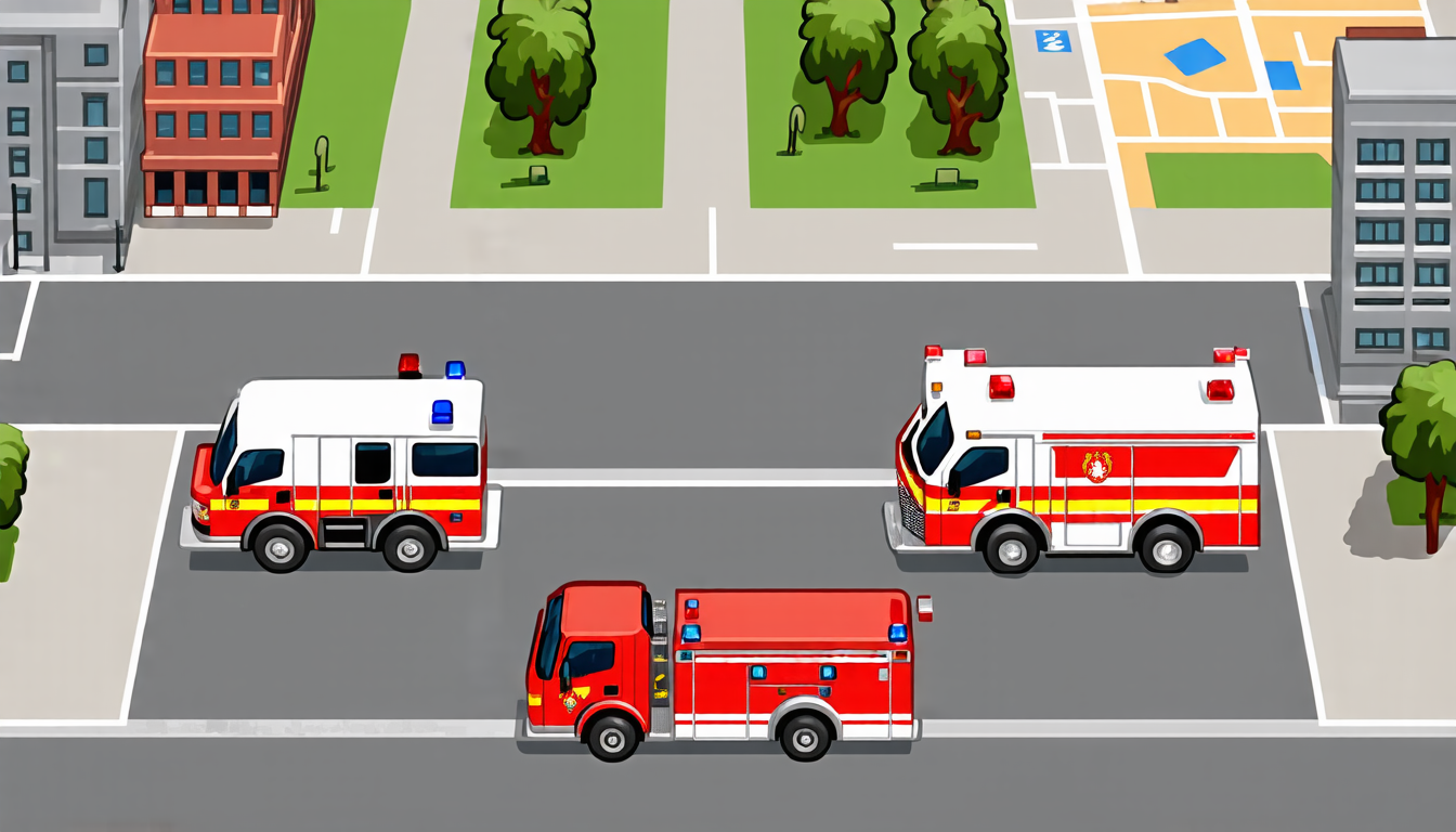
As cities continue to grow and urban areas become increasingly congested, finding ways to optimize transportation networks has never been more crucial. One of the biggest challenges facing urban planners is determining the most efficient routes for emergency vehicles to take during natural disasters or other crises.
Currently, the standard method for calculating the shortest distance between two points on a map relies on algorithms developed decades ago. While these algorithms are effective in certain situations, they can be slow and computationally expensive when dealing with large-scale networks. This is especially problematic during emergencies, where every second counts.
To address this issue, researchers have turned to machine learning techniques, specifically graph neural networks (GNNs). GNNs are designed to learn the patterns and relationships within complex networks, such as transportation systems. By training a GNN on data from real-world traffic patterns, the model can accurately predict the shortest distance between two points on a map.
In a recent study, scientists developed a novel GNN-based framework for estimating the shortest distance between nodes in a graph. The framework, which they called Graph Neural Network-based Shortest Distance Estimation (GNN-SDE), was tested on synthetic data sets and real-world coastal networks.
The results were impressive. Compared to traditional algorithms, GNN-SDE was significantly faster and more accurate. In fact, the model was able to estimate the shortest distance between nodes up to 10 times faster than Dijkstra’s algorithm, a widely used method for finding the shortest path between two points on a graph.
But what does this mean in practical terms? For emergency responders, it means that they can quickly and accurately determine the best route to take during an emergency. This is especially important during natural disasters like hurricanes or floods, where every second counts.
The researchers also tested their model on real-world data from coastal networks, including Manhattan and Hillsborough County, Florida. They found that the GNN-SDE framework was able to accurately predict the shortest distance between nodes in these networks, even under the conditions of a flood.
In addition to its speed and accuracy, the GNN-SDE framework has several other advantages. For one, it can handle large-scale networks with ease, making it an ideal solution for cities with complex transportation systems. It also allows for real-time updates, so that emergency responders can quickly adapt to changing conditions on the ground.
While there is still much work to be done in developing this technology, the potential applications are vast.
Cite this article: “Optimizing Emergency Response with Machine Learning”, The Science Archive, 2025.
Graph Neural Networks, Shortest Distance Estimation, Emergency Response, Transportation Networks, Urban Planning, Machine Learning, Natural Disasters, Flood, Hurricane, Traffic Patterns, Coastal Networks


