
Monday 10 March 2025
Scientists have developed a new technique for measuring soil moisture, which is crucial for understanding and managing Earth’s water resources. The method uses signals from global navigation satellite systems (GNSS) to estimate how much water is present in the top layer of soil.
Soil moisture plays a vital role in many natural processes, such as regulating the climate, influencing weather patterns, and supporting plant growth. However, measuring it accurately has been a challenge. Traditional methods often involve installing networks of sensors on the ground, which can be expensive and time-consuming to deploy and maintain.
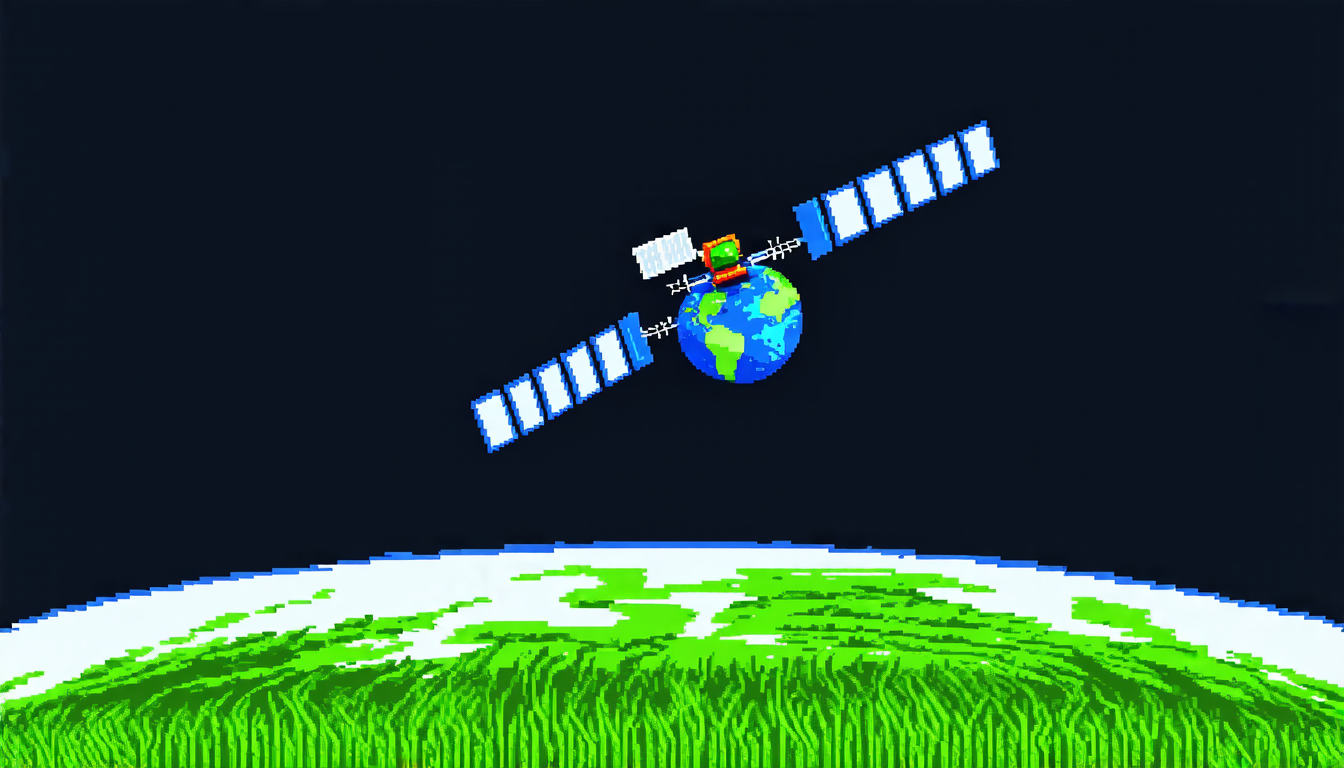
The new technique uses signals from GNSS satellites, such as those used for navigation and tracking, to estimate soil moisture. The signals are scattered back to the satellite by the Earth’s surface, allowing scientists to infer the properties of the soil. By analyzing these signals, researchers can determine how much water is present in the top layer of soil.
One of the key advantages of this method is its ability to provide global coverage. Unlike traditional sensors, which are limited to specific locations, GNSS signals can be detected from anywhere on the planet. This makes it an ideal tool for monitoring large-scale changes in soil moisture, such as those caused by climate change.
The technique was developed using data from the Rongowai mission, a NASA-funded project that flew an airborne sensor over New Zealand to collect GNSS signals. The sensor used a dual-polarized antenna to detect both horizontal and vertical components of the signal, allowing researchers to distinguish between different types of scattering processes.
By analyzing the scattered signals, scientists were able to estimate soil moisture with high accuracy. The results showed that the technique was able to accurately predict soil moisture levels over a range of surfaces, including grasslands, forests, and agricultural fields.
The development of this new technique has significant implications for our understanding of soil moisture and its role in the Earth’s water cycle. By providing a global perspective on soil moisture, scientists can better understand how it affects weather patterns, climate change, and ecosystems.
In addition to its scientific applications, the technique also has practical uses for agriculture, urban planning, and natural disaster management. For example, farmers could use the data to optimize irrigation systems, while city planners could use it to design more efficient drainage systems.
Overall, this new technique offers a powerful tool for understanding and managing soil moisture, with far-reaching implications for our daily lives.
Cite this article: “New Technique Uses GNSS Signals to Measure Soil Moisture Globally”, The Science Archive, 2025.
Soil, Moisture, Gnss, Satellite, Navigation, Water Resources, Climate Change, Agriculture, Urban Planning, Natural Disaster Management