

Wednesday 12 March 2025
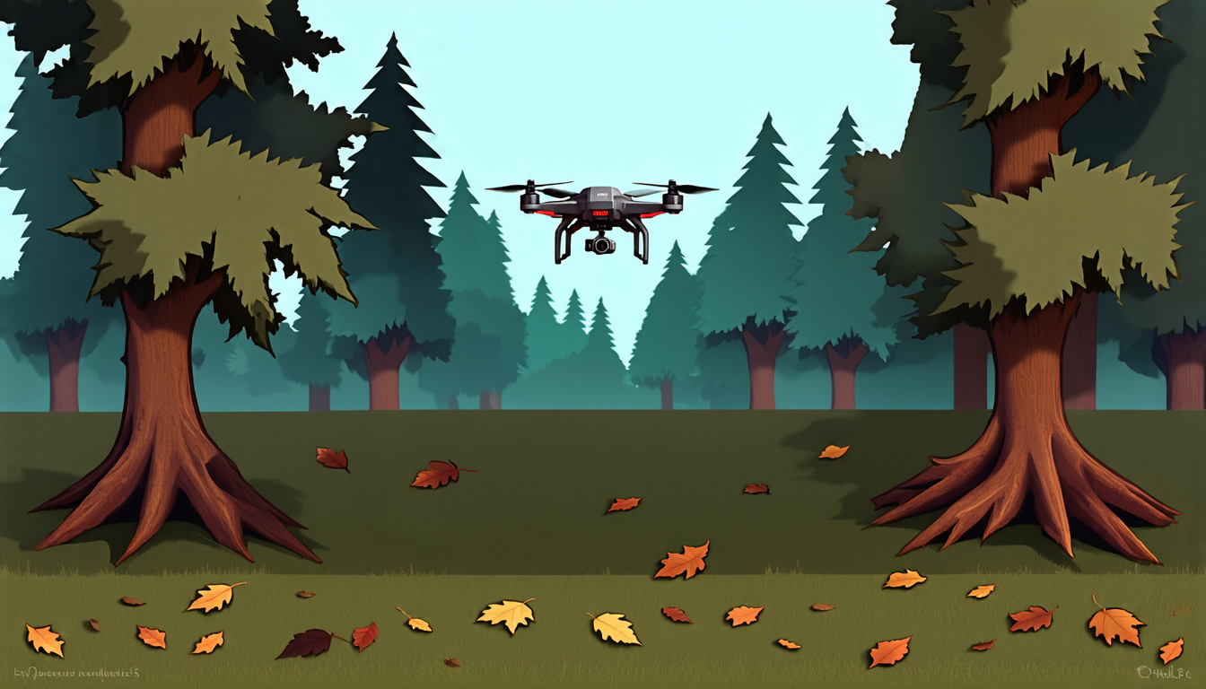
The quest for autonomous forest mapping has taken a significant leap forward, as researchers have developed a drone system capable of flying inside dense forests and collecting accurate data on tree diameters and volumes.
Until now, surveying forests has been a laborious and time-consuming process, requiring teams to trudge through the underbrush with cumbersome equipment. But this new approach uses a lightweight under-canopy drone equipped with a miniature stereo camera and photogrammetric system to capture high-resolution images of tree stems.
The drone’s advanced algorithms then use these images to estimate the diameter at breast height (DBH) – a crucial metric for forest inventory management. The results are impressive: in testing, the system accurately detected 79% of tree stems and achieved an average error margin of just 3.3 centimeters (1.3 inches) when estimating DBH.
This technology has significant implications for forestry management, as it allows for more efficient and accurate monitoring of forest health and biomass. It also opens up new possibilities for precision agriculture, enabling farmers to optimize crop yields and reduce waste by mapping tree densities and growth patterns in real-time.
But the innovation doesn’t stop there. The drone’s autonomous navigation system uses a combination of visual-inertial odometry (VIO) and lidar technology to detect obstacles and adjust its flight path accordingly. This allows it to fly through complex forest canopies with ease, collecting data on tree structure and density with unprecedented accuracy.
The team behind the project has also developed advanced software tools for processing the data, allowing researchers to create detailed 3D models of forest ecosystems. These models can be used to analyze forest dynamics, track changes in ecosystem health, and even predict the impact of climate change on forest ecosystems.
As the world grapples with the challenges of sustainable forestry and conservation, this technology has the potential to revolutionize our understanding of forest ecosystems. By providing a more accurate and efficient way to survey forests, it could help policymakers make more informed decisions about land use and resource management.
The future is bright for this technology, as researchers continue to refine their approach and explore new applications. With its ability to navigate complex environments and collect high-quality data, this drone system has the potential to transform our understanding of the natural world – one forest at a time.
Cite this article: “Revolutionizing Forest Mapping with Autonomous Drones”, The Science Archive, 2025.
Drone Technology, Autonomous Navigation, Forestry Management, Precision Agriculture, Forest Health, Biomass, Lidar Technology, Visual-Inertial Odometry, 3D Modeling, Sustainable Forestry





