
Thursday 13 March 2025
The quest for precise location tracking has long been a holy grail of wireless communication. With the rise of autonomous vehicles, smart cities and augmented reality, the demand for accurate positioning has reached new heights. Now, researchers are pushing the boundaries of what’s possible by integrating terrestrial and non-terrestrial networks to create a seamless localization system.
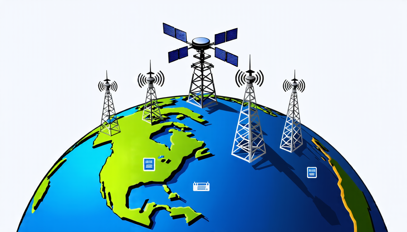
The challenge lies in combining signals from different sources – satellites orbiting the Earth, cellular towers and radio frequency identification (RFID) tags – into a single, reliable location estimate. Think of it like trying to piece together a puzzle with multiple, incomplete fragments. Each signal provides only part of the picture, but when combined correctly, they can reveal a precise location.
The key is in the way these signals interact. Satellites transmit radio waves that bounce off the Earth’s surface, while cellular towers emit signals that are received by devices on the ground. RFID tags, meanwhile, use radio waves to identify and track objects. By analyzing the timing differences between when these signals were transmitted and received, researchers can pinpoint a device’s location.
However, there’s a catch. Each signal type has its own limitations. Satellites have limited resolution due to their altitude, while cellular towers’ signals are prone to interference from other devices. RFID tags, on the other hand, have limited range and accuracy. To overcome these issues, researchers are developing new algorithms that can fuse data from multiple sources to create a more accurate location estimate.
One approach is to use machine learning techniques to analyze patterns in the received signals. This allows the system to adapt to changing environmental conditions, such as weather or physical obstacles, which can affect signal strength and accuracy. Another strategy involves using advanced antenna designs and beamforming techniques to enhance signal reception and reduce interference.
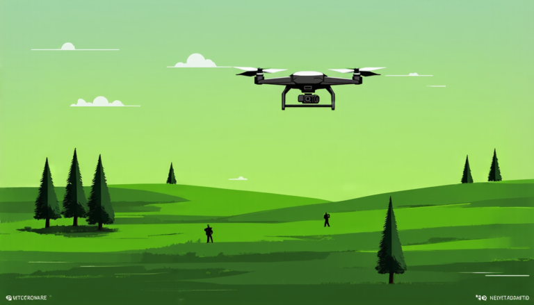
The integration of non-terrestrial networks (NTNs) is also set to revolutionize location tracking. NTNs use satellites, high-altitude platforms (HAPs) and unmanned aerial vehicles (UAVs) to provide global coverage and precise location estimates. By combining these signals with those from terrestrial networks, researchers can create a seamless localization system that works anywhere in the world.
The potential applications of this technology are vast. Autonomous vehicles could rely on it for navigation, while smart cities could use it to optimize traffic flow and resource allocation. Augmented reality experiences would become even more immersive, as devices could pinpoint a user’s location with precision.
However, there are still significant challenges to overcome before this technology can be rolled out.
Cite this article: “Seamless Location Tracking: The Quest for Precise Positioning”, The Science Archive, 2025.
Location Tracking, Wireless Communication, Autonomous Vehicles, Smart Cities, Augmented Reality, Satellite Signals, Cellular Towers, Rfid Tags, Machine Learning, Non-Terrestrial Networks