Wednesday 19 March 2025
Researchers have made significant progress in developing a new method for locating unmanned aerial vehicles (UAVs) using radio frequency signals. The approach, which relies on measuring the time difference between when a signal is received at multiple sensors, has been tested in real-world scenarios and shown to be effective even in complex environments with multiple obstacles.
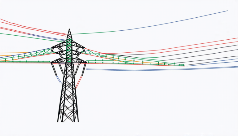
The technique, known as TDOA (time difference of arrival), involves deploying multiple sensors around an area where UAVs are expected to operate. Each sensor records the time at which it receives a signal from the UAV, and then the times are compared to determine the location of the aircraft. The more sensors used, the more accurate the location becomes.
To test this method, researchers conducted five flights with a UAV equipped with a transmitter that sent out radio signals at different altitudes and bandwidths. The signals were received by four sensors located around the flight area, which recorded the time of arrival for each signal. By analyzing these times, the team was able to determine the location of the UAV with an average error of just 35 meters.
The results show that TDOA is a reliable method for locating UAVs in a variety of environments. In areas where there are multiple obstacles, such as buildings and trees, the technique can still provide accurate locations by accounting for the signal strength and timing differences between sensors.
One of the key challenges facing researchers is developing methods to deal with non-line-of-sight (NLOS) signals, which occur when a signal is reflected or scattered off an obstacle before reaching a sensor. In these situations, the received signal may be weaker than expected and can lead to inaccurate location estimates.
To overcome this challenge, the team used ray-tracing simulations to predict the NLOS conditions in the flight area. This allowed them to identify areas where signals were likely to be blocked or attenuated, and adjust their calculations accordingly.
The implications of this research are significant for air traffic management systems, which will need to rely on accurate location information to ensure safe separation between UAVs and other aircraft. The technique could also be used in a variety of civilian applications, such as tracking drones used for package delivery or monitoring wildlife populations.
While there is still work to be done to refine the method and develop it for practical use, these early results are promising and suggest that TDOA has the potential to become a valuable tool for UAV location and tracking.
Cite this article: “Accurate Location Tracking of Unmanned Aerial Vehicles Using Radio Frequency Signals”, The Science Archive, 2025.
Uavs, Radio Frequency Signals, Tdoa, Sensors, Location Estimation, Air Traffic Management, Nlos Signals, Ray-Tracing Simulations, Package Delivery, Wildlife Monitoring.