

Thursday 20 March 2025
A team of researchers has developed a revolutionary new approach to mapping solar panels, which could help reduce the time and cost of inspecting and maintaining these vital sources of renewable energy.
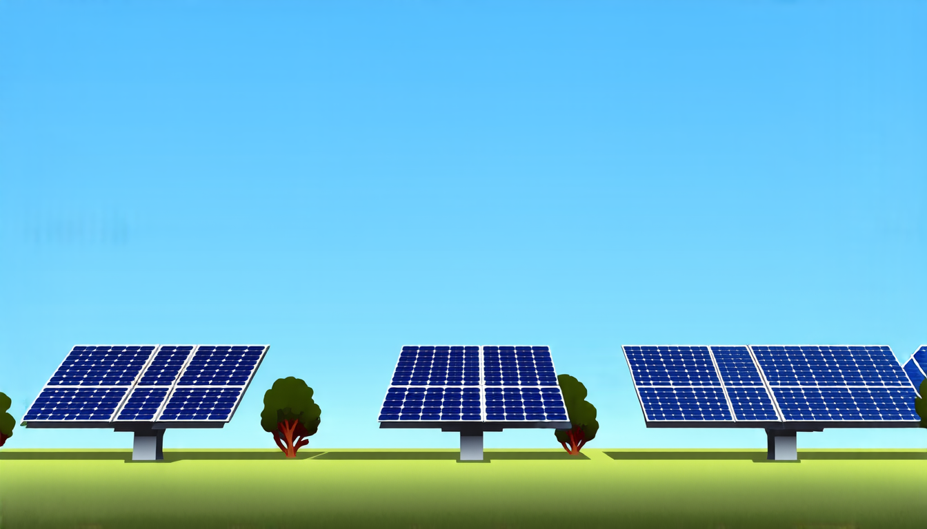
The traditional method of mapping solar panels involves manually creating a detailed map of each panel’s location and orientation. This process is not only time-consuming but also prone to errors, as human inspectors may misidentify or overlook certain panels. To address this issue, the researchers created a deep learning framework that can automatically detect and georeference individual solar panels from aerial imagery.
The framework uses a rotated object detection architecture, which allows it to accurately localize panels regardless of their orientation in the image. This is achieved by modeling the problem as an arbitrarily oriented object detection task, where the ground truth annotations are represented as rotated bounding boxes. The researchers also developed a set of proposal anchors that take into account scale, aspect ratio, and rotation angle.
The team tested their framework on a diverse dataset of 121 high-resolution aerial images of large-scale solar farms across North America. They found that their approach outperformed traditional methods in terms of accuracy and efficiency, with an mAP score of 83.3%. The framework was also able to accurately detect panels even when they were partially occluded or had varying levels of illumination.
The potential benefits of this technology are significant. By automating the mapping process, inspectors will be able to focus on more critical tasks, such as identifying and repairing faulty panels. This could lead to a reduction in the amount of energy lost due to malfunctioning equipment, which currently stands at around 3.5 gigawatts.
The researchers estimate that their approach could increase efficiency by 43%, resulting in an additional 1.4 gigawatts of solar power being retained annually. This is equivalent to powering over 280,000 homes for a year.
The development of this technology is particularly timely, as the world continues to transition towards renewable energy sources. Solar power has become increasingly important in recent years, with global capacity growing by nearly 100% since 2010. However, the growth of solar power also presents new challenges, such as ensuring that panels are properly maintained and inspected.
The researchers’ framework is a significant step forward in addressing this challenge, and its potential applications extend beyond the solar industry. The technology could be used to inspect and maintain other types of infrastructure, such as wind turbines or transmission lines.
Cite this article: “Automated Solar Panel Mapping Enhances Efficiency and Reliability”, The Science Archive, 2025.
Solar Panels, Renewable Energy, Mapping, Deep Learning, Aerial Imagery, Object Detection, Georeference, Accuracy, Efficiency, Automation





