
Saturday 22 March 2025
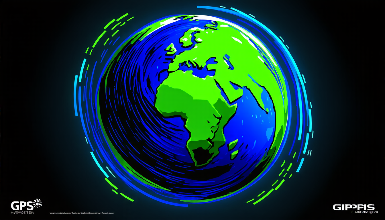
The ionosphere, a region of the Earth’s atmosphere that extends from about 50 to 600 kilometers above the planet’s surface, plays a crucial role in our daily lives. It’s where GPS signals are bent and distorted, making it possible for us to navigate accurately using satellite-based navigation systems. But despite its importance, the ionosphere remains poorly understood, with many of its intricacies still shrouded in mystery.
One of the biggest challenges in studying the ionosphere is its highly variable nature. The region’s electron density can fluctuate wildly depending on factors like solar activity, magnetic storms, and even the time of day. This means that scientists have to be extremely careful when collecting data, as small changes in conditions can greatly affect the accuracy of their measurements.
In recent years, researchers have been using GPS signals to study the ionosphere in greater detail. By analyzing how these signals are affected by the region’s electron density, scientists can gain valuable insights into its behavior and dynamics. But until now, there has been a major limitation to this approach: the lack of high-quality data.
That’s where Ecuador comes in. The country has recently invested heavily in building out its GPS network, with over 50 stations now spread across its territory. This has provided researchers with an unprecedented opportunity to study the ionosphere in great detail, thanks to the wealth of data that these stations are able to collect.
Using this data, scientists have been able to create highly detailed maps of the ionosphere’s electron density over Ecuador. These maps show not only how the region’s electron density varies across different latitudes and longitudes, but also how it changes over time. This has allowed researchers to identify patterns and trends that were previously unknown.
One of the most interesting findings from this research is the discovery of a new type of ionospheric disturbance. These disturbances are caused by magnetic storms that occur in the Earth’s magnetosphere, and they can have a significant impact on GPS signals. By studying these disturbances in greater detail, scientists hope to be able to develop more accurate models for predicting how they will affect GPS navigation.
Another important finding from this research is the identification of areas where the ionosphere’s electron density is particularly high or low. This information is crucial for understanding how GPS signals are affected by the region’s electron density, and it can help scientists to develop more accurate models for predicting how these signals will behave.
Cite this article: “Unlocking the Secrets of the Ionosphere: Ecuadors GPS Network Provides New Insights”, The Science Archive, 2025.
Gps, Ionosphere, Electron Density, Navigation, Satellite-Based, Solar Activity, Magnetic Storms, Ecuador, Gps Network, Research