Sunday 30 March 2025
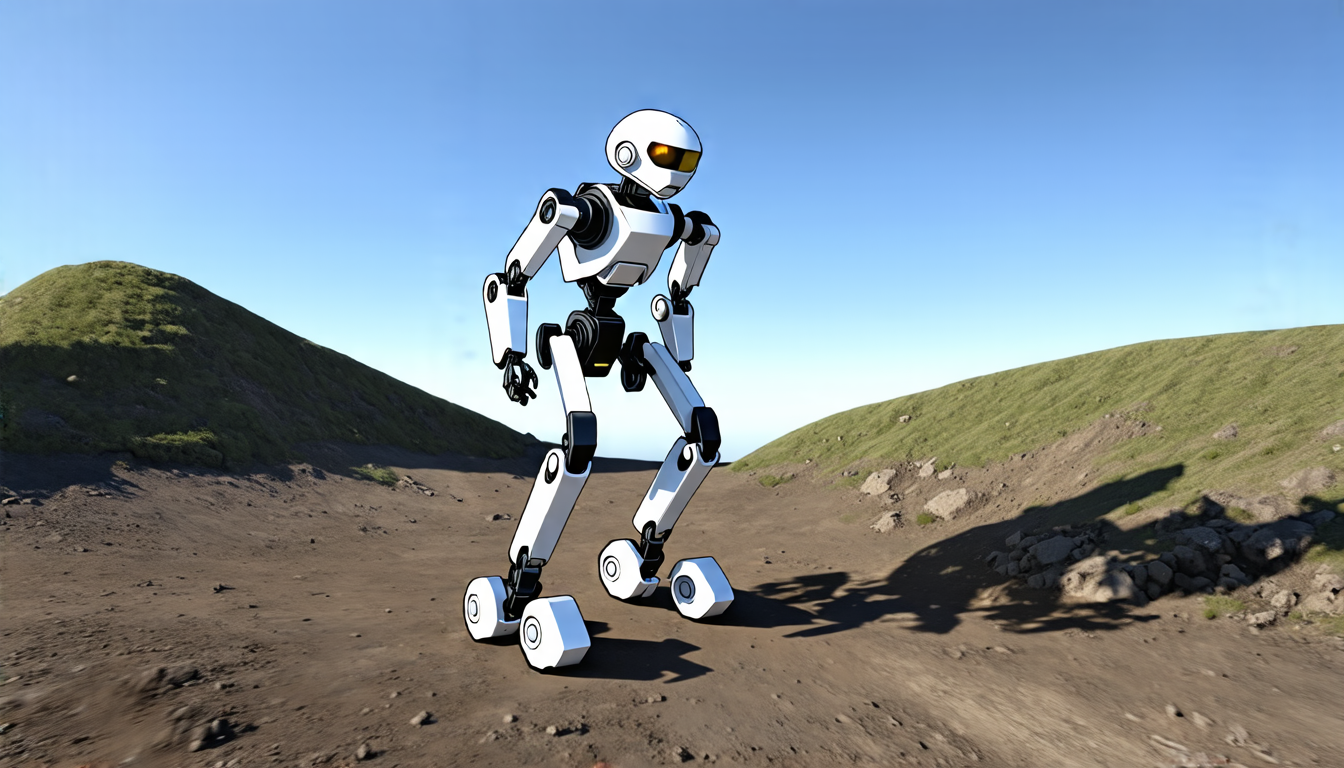
The quest for better navigation in legged robots has long been a challenge. Exoskeletons, in particular, have to contend with limited Field Of View (FOV) depth sensors and greater sensor motion due to their human users. To address this, researchers have developed a novel odometry algorithm that integrates proprioceptive data from the exoskeleton with point clouds from a depth camera to produce accurate elevation maps.
The key innovation here lies in the use of an elevation map-based Iterative Closest Point (ICP) variant instead of a traditional point cloud map. This approach is designed specifically for leg exoskeletons and takes into account their unique constraints. The elevation map, which represents the geometry of the terrain around the robot, is updated using a tailored ICP algorithm that registers new point clouds with the map.
The results are impressive. In experiments conducted on a personal exoskeleton, the new odometry algorithm outperformed traditional methods in both accuracy and computational efficiency. The elevation maps produced by the algorithm were smoother and more representative of the true environment compared to those generated by purely proprioceptive estimators or point cloud maps.
One of the most significant advantages of this approach is its ability to handle underconstrained scenarios, which are common in legged robotics. By operating directly on the elevation map, the ICP variant can effectively correct for small regions of uncertain terrain, producing more accurate trajectory estimates and reducing drift.
Another benefit is its computational efficiency. The algorithm runs five times faster than a point cloud map-based alternative, making it well-suited for real-time applications. This is particularly important in exoskeletons, where timely navigation decisions are critical to ensuring safe and effective operation.
The researchers behind this work have also developed a novel model for the covariance of ICP, which allows them to better estimate the uncertainty associated with the algorithm’s outputs. This is essential for ensuring that the robot can safely operate in uncertain environments.
While this work has significant implications for legged robotics, it also has broader applications in fields such as autonomous vehicles and industrial automation. The ability to accurately navigate complex environments using limited sensor data could have a major impact on the development of these technologies.
Overall, this research demonstrates a significant step forward in the development of odometry algorithms for legged robots. By leveraging the unique characteristics of elevation maps and developing novel ICP variants, researchers can create more accurate and efficient navigation systems that are better equipped to handle the challenges of complex environments.
Cite this article: “Accurate Navigation in Legged Robots through Elevation Map-Based Odometry”, The Science Archive, 2025.
Legged Robots, Exoskeletons, Odometry, Elevation Maps, Point Clouds, Iterative Closest Point (Icp), Proprioceptive Data, Sensor Motion, Navigation Algorithms, Robotics Research


