Tuesday 08 April 2025
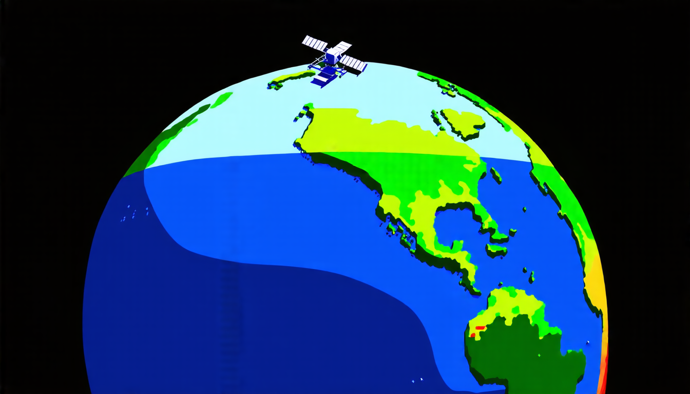
Scientists have made a significant breakthrough in monitoring sea surface temperatures, which is crucial for understanding climate change and its impact on our planet. By using advanced satellite technology, researchers have been able to create high-resolution maps of sea surface temperatures across the globe.
These maps are essential for tracking changes in ocean temperatures, which can have far-reaching consequences for global weather patterns and marine ecosystems. For example, warmer ocean temperatures can contribute to more intense hurricanes and droughts, while cooler temperatures can lead to more severe storms and flooding.
The new method uses data from Landsat-8, a satellite launched by NASA in 2013, to create detailed maps of sea surface temperatures with a resolution of just 100 meters. This is much higher than previous methods, which typically had resolutions of around 1 kilometer.
To create the maps, researchers used a combination of satellite data and advanced computer algorithms. They first corrected for atmospheric interference, which can distort the signal received from the satellite. Then, they used machine learning techniques to identify patterns in the data and remove any noise or errors.
The resulting maps show intricate details of sea surface temperatures, including the effects of coastal geography, ocean currents, and climate patterns. For example, the maps reveal how warm water from the equator flows northward along the eastern coast of Australia, while cooler water from the Antarctic flows southward along the western coast.
These high-resolution maps have significant implications for a range of fields, from oceanography to meteorology to conservation biology. They can help scientists better understand complex ocean processes, predict changes in weather patterns, and identify areas where marine ecosystems are most vulnerable to climate change.
In addition, the new method can be used to monitor sea surface temperatures in real-time, allowing researchers to track changes in ocean temperatures over time. This is particularly important for understanding how climate change is affecting our planet, as it can help scientists identify trends and patterns that might not be immediately apparent from other data sources.
The potential applications of this technology are vast and varied. For example, it could be used to improve weather forecasting, track the spread of marine diseases, or monitor the impact of climate change on coastal ecosystems.
Overall, the development of high-resolution sea surface temperature maps is an important step forward in our understanding of the complex relationships between the ocean and atmosphere. As scientists continue to refine this technology, we can expect to see even more accurate and detailed maps that will help us better understand and protect our planet.
Cite this article: “Unveiling Coastal Warming Patterns: A Study of Sea Surface Temperature Variability in South Australia Using Landsat-8 TIRS Observations”, The Science Archive, 2025.
Sea Surface Temperatures, Climate Change, Satellite Technology, Oceanography, Meteorology, Conservation Biology, Coastal Ecosystems, Marine Ecosystems, Weather Forecasting, Landsat-8