

Tuesday 08 April 2025
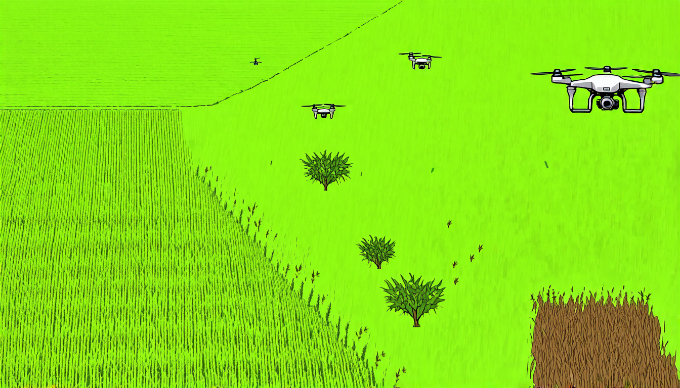
Scientists have made a significant breakthrough in the field of precision agriculture, developing new ways to map weeds using unmanned aerial vehicles (UAVs). The traditional method of stitching together multiple images captured by a UAV requires intense computational power and time, making it impractical for real-time use. Gaussian Process-based mapping offers a solution by creating continuous models of weed distribution, but this method still relies on discretization for practical applications.
Researchers have explored alternative representations to quadtrees, the traditional choice for discretizing spatial data. In a recent study, they compared five different methods: quadtrees, wedgelets, top-down binary space partitioning trees using least square error (LSE), bottom-up binary space partitioning trees using graph merging, and variable-resolution hexagonal grids.
The results showed that each method excelled in specific scenarios. Quadtrees performed best overall, but other representations shone when dealing with large, dominant weed patches or highly variable patch sizes. The study found that BSP LSE suits fields with many small, scattered weeds, while hexagons are better suited for fields with large, dominant weed patches.
The researchers also analyzed the relationship between selected field features and the performance of each method. They discovered that the best representation to use depends on the distribution of the underlying data. For example, quadtrees tend to perform well when there are many small, scattered weeds, while hexagons are more effective when dealing with large, dominant patches.
These findings have significant implications for precision agriculture. By choosing the right representation based on the weed distribution pattern, farmers can improve mapping accuracy and efficiency. This could lead to more targeted and effective use of herbicides, reducing environmental impact and increasing crop yields.
The study also highlights the importance of considering spatial data distributions when selecting a discretization method. Traditional methods often rely on default representations, which may not be suitable for specific scenarios. By taking into account the characteristics of the data, researchers can develop more effective and efficient solutions for real-world problems.
In practical terms, this breakthrough could lead to the development of more advanced UAV-based mapping systems that can provide farmers with accurate and timely information about weed distribution. This would enable them to make informed decisions about herbicide application, reducing waste and environmental impact while improving crop yields.
The study demonstrates the potential benefits of interdisciplinary research, combining expertise in computer science, agriculture, and spatial analysis to address real-world challenges.
Cite this article: “Dissecting Weed Mapping with Gaussian Processes and Alternative Representations”, The Science Archive, 2025.
Uavs, Precision Agriculture, Weed Mapping, Gaussian Process-Based Mapping, Quadtrees, Wedgelets, Binary Space Partitioning Trees, Hexagonal Grids, Spatial Data Distributions, Herbicides.





