Wednesday 23 April 2025
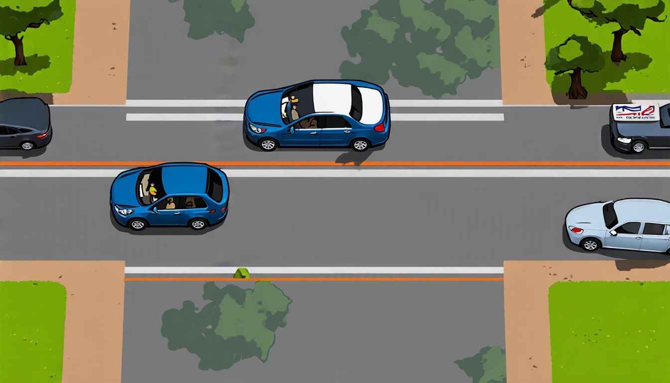
The quest for accurate maps has been a longstanding challenge in the field of autonomous driving. For years, researchers have been working on developing systems that can create and update high-definition (HD) maps in real-time, allowing vehicles to navigate through complex environments with ease.
Recently, a team of scientists made a significant breakthrough in this area by developing a unified framework for online vectorized HD map construction. This innovative approach integrates two complementary prior sources: previous predictions and simulated outdated HD maps.
The first component of the system is based on temporal modeling, which uses previous predictions to generate a rough outline of the environment. This information is then refined using simulated outdated HD maps, which are generated by warping the current map to mimic the distortions that occur over time due to factors such as road construction or weather conditions.
The combination of these two sources of information allows the system to produce highly accurate and detailed maps in real-time. The framework also includes a tile-indexed 3D vectorized global map processor, which enables efficient storage and retrieval of the map data.
One of the key advantages of this system is its ability to adapt to changing environments. As new information becomes available, the system can quickly update the map to reflect these changes, allowing vehicles to respond accordingly.
The team tested their system on a range of real-world scenarios, including urban and rural areas with varying levels of complexity. The results were impressive, with the system achieving state-of-the-art performance in terms of accuracy and speed.
The implications of this technology are significant, as it could enable autonomous vehicles to navigate through complex environments with greater ease and precision. This could revolutionize the way we travel, enabling vehicles to safely and efficiently transport people and goods over long distances.
In addition to its applications in autonomous driving, this technology also has potential uses in other areas such as robotics, surveying, and mapping. It has the potential to enable a wide range of devices and systems to create accurate maps in real-time, opening up new possibilities for exploration and navigation.
Overall, this breakthrough represents a major step forward in the development of online vectorized HD map construction. Its potential applications are vast and varied, and it is likely to have a significant impact on many different fields in the years to come.
Cite this article: “Advancing Autonomous Driving with Unified Prior-Informed HD Map Construction: A Novel Framework”, The Science Archive, 2025.
Autonomous Driving, Online Mapping, Hd Maps, Real-Time Navigation, Temporal Modeling, Vectorized Maps, 3D Processing, Robotics, Surveying, Mapping Technology


