Friday 02 May 2025
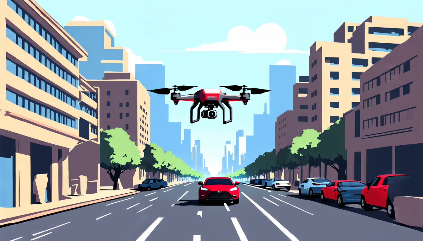
Researchers have made significant progress in developing a cutting-edge technology that enables unmanned aerial vehicles (UAVs) to navigate through complex urban environments using natural language instructions. This innovative system, called GeoNav, has the potential to revolutionize the way we design and deploy UAVs for tasks such as surveillance, search and rescue, and environmental monitoring.
The key innovation behind GeoNav is its ability to integrate multimodal large language models (MLLMs) with geospatial reasoning capabilities. These MLLMs are designed to understand natural language instructions and generate spatially-aware responses that can guide a UAV through urban landscapes. The system uses a combination of visual, auditory, and linguistic cues to enable the UAV to navigate and locate specific objects or areas.
One of the most impressive aspects of GeoNav is its ability to reason about complex spatial relationships between objects in the environment. This allows the UAV to plan its route and make decisions based on its current location and the locations it needs to visit. For example, if a UAV is instructed to find a red car in a parking lot, GeoNav can use its spatial reasoning capabilities to determine the most efficient route to take to reach the car.
The system consists of three main stages: landmark navigation, target search, and precise localization. In the first stage, the UAV uses visual and linguistic cues to identify landmarks such as buildings or roads. Once it has identified a landmark, it can use this information to plan its route and navigate towards its destination. The second stage involves searching for specific objects or areas within the environment. This is done by using visual and auditory cues to identify potential targets and then verifying their identity through linguistic processing. Finally, in the third stage, the UAV uses precise localization techniques to pinpoint the exact location of the target object.
GeoNav has been tested in a variety of urban environments, including city streets and parking garages. The results have been impressive, with the system successfully navigating complex routes and identifying specific objects or areas with high accuracy.
The implications of GeoNav are far-reaching, with potential applications in a wide range of fields such as surveillance, search and rescue, environmental monitoring, and even package delivery. With its ability to navigate through complex urban environments using natural language instructions, GeoNav has the potential to revolutionize the way we design and deploy UAVs.
The next step for researchers is to further develop and refine the system, with a focus on improving its performance in real-world scenarios.
Cite this article: “GeoNav: Revolutionizing Unmanned Aerial Vehicle Navigation through Natural Language Instructions”, The Science Archive, 2025.
Uavs, Natural Language Instructions, Geonav, Multimodal Large Language Models, Geospatial Reasoning, Spatial Relationships, Navigation, Surveillance, Search And Rescue, Environmental Monitoring


