Saturday 10 May 2025
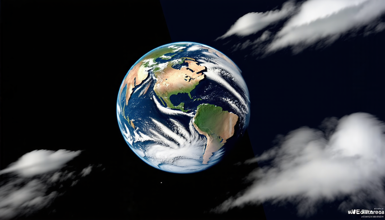
Scientists have been working on a revolutionary new way to help satellites analyze images of Earth more efficiently and accurately. The approach, called GLUSE, is like adding a superpower to the processing power of these space-based cameras.
Traditionally, satellite imaging involves sending massive amounts of data back to Earth for analysis. This can be a slow and energy-intensive process, which limits the amount of information that can be gathered. But what if we could do this processing on the satellite itself? That’s where GLUSE comes in.
GLUSE is an advanced algorithm that enables satellites to analyze images while they’re still in orbit, making them more efficient and effective. It does this by using a combination of machine learning techniques, including squeeze-and-excitation networks and knowledge distillation. These concepts may sound complex, but essentially, they allow the satellite to learn from its mistakes and improve its image analysis skills over time.
One of the key benefits of GLUSE is its ability to adapt to different types of images and environmental conditions. This means that a single satellite can be used for multiple tasks, such as monitoring weather patterns, tracking crop growth, or detecting natural disasters. The algorithm can even adjust to changes in lighting, cloud cover, and other factors that might affect image quality.
The scientists behind GLUSE have tested the system on two datasets: EuroSAT and PatternNet. These datasets consist of thousands of images taken from satellites, including scenes of cities, forests, and agricultural land. By analyzing these images with GLUSE, the team was able to achieve impressive accuracy rates, often surpassing those of traditional image analysis methods.
But what does this mean for us? With more efficient and accurate satellite imaging, we can gain a better understanding of our planet’s changing environment. We’ll be able to monitor climate change, track natural disasters, and even improve crop yields. The potential applications are vast, and GLUSE is just the beginning.
In addition to its scientific benefits, GLUSE also has practical implications for the space industry. As satellites become increasingly complex and powerful, they require more sophisticated processing capabilities. GLUSE can help meet this demand by enabling satellites to analyze data in real-time, without relying on Earth-based computers.
The future of satellite imaging is bright, and GLUSE is leading the charge. By harnessing the power of machine learning, we can unlock new possibilities for space exploration and environmental monitoring.
Cite this article: “GLUSE: A Revolutionary Algorithm for Efficient Satellite Imaging”, The Science Archive, 2025.
Satellites, Imaging, Gluse, Machine Learning, Algorithm, Space Exploration, Environmental Monitoring, Data Analysis, Satellite Cameras, Image Processing